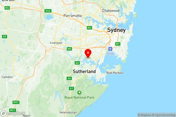
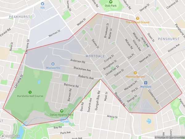
Mortdale Penshurst Suburbs & Region, Mortdale Penshurst Map & Postcodes
Mortdale Penshurst Suburbs & Region, Mortdale Penshurst Map & Postcodes in Mortdale Penshurst, Hurstville, Sydney Inner South West, NSW, AU
Mortdale Penshurst Region
Region Name
Mortdale Penshurst (NSW, AU)Postal Codes
2222, and 2223 (In total, there are 2 postcodes in Mortdale Penshurst.)Mortdale Penshurst Introduction
Mortdale Penshurst is a suburb in the southern suburbs of Sydney, in the state of New South Wales, Australia. It is located 17 kilometers south of the Sydney central business district and is part of the Georges River Council. The suburb is named after the Mortdale railway station, which was located on the Main Suburban line. The station was opened in 1889 and closed in 1961. The suburb of Mortdale Penshurst has a mixed population, with a significant proportion of its residents being of Greek, Italian, and Lebanese descent. The area has a number of parks and recreational facilities, including the Penshurst Park Sports Complex, which includes a cricket oval, tennis courts, and a basketball court. The suburb also has a number of shopping centers, including the Mortdale Shopping Village and the Penshurst Plaza.Australia State
City or Big Region
District or Regional Area
Suburb Name
Mortdale Penshurst Region Map

Mortdale Penshurst Postcodes / Zip Codes
Mortdale Penshurst Suburbs
Mortdale Penshurst full address
Mortdale Penshurst, Hurstville, Sydney Inner South West, New South Wales, NSW, Australia, SaCode: 119031369Country
Mortdale Penshurst, Hurstville, Sydney Inner South West, New South Wales, NSW, Australia, SaCode: 119031369
Mortdale Penshurst Suburbs & Region, Mortdale Penshurst Map & Postcodes has 0 areas or regions above, and there are 3 Mortdale Penshurst suburbs below. The sa2code for the Mortdale Penshurst region is 119031369. Its latitude and longitude coordinates are -33.9812,151.075.
Mortdale Penshurst Suburbs & Localities
1. Penshurst
2. Mortdale
3. Oatley
