Woollahra Suburbs & Region, Woollahra Map & Postcodes
Woollahra Suburbs & Region, Woollahra Map & Postcodes in Woollahra, Eastern Suburbs North, Sydney Eastern Suburbs, NSW, AU
Woollahra Region
Region Name
Woollahra (NSW, AU)Woollahra Area
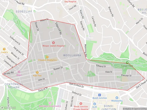
1.28 square kilometers (1.28 ㎢)Postal Codes
1350, and 2025 (In total, there are 2 postcodes in Woollahra.)Woollahra Introduction
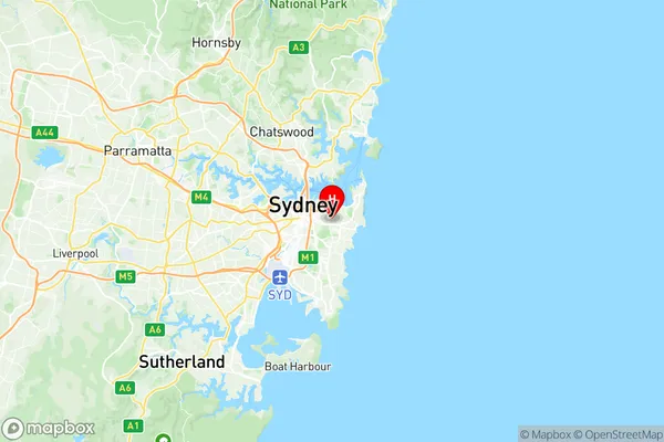
Woollahra is a suburb in Sydney, New South Wales, Australia, 6 kilometers east of the Sydney central business district. It is part of the Eastern Suburbs region and is governed by the City of Sydney. Woollahra has a rich history and is known for its high-end real estate, prestigious schools, and vibrant cultural scene. The suburb is home to many famous landmarks, including the Woollahra Council Chambers, the Royal Sydney Golf Club, and the Woollahra Hotel. It is also home to a large number of artists, writers, and musicians, and is known for its cosmopolitan atmosphere and trendy restaurants and cafes.Australia State
City or Big Region
Greater Capital City
Greater Sydney (1GSYD)District or Regional Area
Suburb Name
Woollahra Region Map

Woollahra Postcodes / Zip Codes
Woollahra Suburbs
Woollahra full address
Woollahra, Eastern Suburbs North, Sydney Eastern Suburbs, New South Wales, NSW, Australia, SaCode: 118011347Country
Woollahra, Eastern Suburbs North, Sydney Eastern Suburbs, New South Wales, NSW, Australia, SaCode: 118011347
Woollahra Suburbs & Region, Woollahra Map & Postcodes has 0 areas or regions above, and there are 2 Woollahra suburbs below. The sa2code for the Woollahra region is 118011347. Its latitude and longitude coordinates are -33.8865,151.244. Woollahra area belongs to Australia's greater capital city Greater Sydney.
Woollahra Suburbs & Localities
1. Woollahra
2. Woollahra
