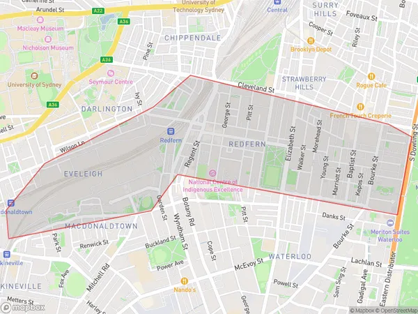
Redfern Suburbs & Region, Redfern Map & Postcodes
Redfern Suburbs & Region, Redfern Map & Postcodes in Redfern, Sydney Inner City, Sydney City and Inner South, NSW, AU
Redfern Region
Region Name
Redfern (NSW, AU)Redfern Area
1.7 square kilometers (1.7 ㎢)Redfern Introduction
Redfern is a suburb of Sydney, in the state of New South Wales, Australia. It is located 5 kilometers south of the Sydney central business district and is part of the City of Sydney local government area. Redfern is known for its vibrant cultural heritage and is home to a large Indigenous population. The suburb has a rich history of activism and social justice, with many important landmarks and institutions located there. It is also home to the Redfern Aboriginal Medical Service, which provides healthcare services to Indigenous people.Australia State
City or Big Region
Greater Capital City
Greater Sydney (1GSYD)District or Regional Area
Suburb Name
Redfern Suburbs
Redfern full address
Redfern, Sydney Inner City, Sydney City and Inner South, New South Wales, NSW, Australia, SaCode: 117031642Country
Redfern, Sydney Inner City, Sydney City and Inner South, New South Wales, NSW, Australia, SaCode: 117031642
Redfern Suburbs & Region, Redfern Map & Postcodes has 0 areas or regions above, and there are 0 Redfern suburbs below. The sa2code for the Redfern region is 117031642. Redfern area belongs to Australia's greater capital city Greater Sydney.
