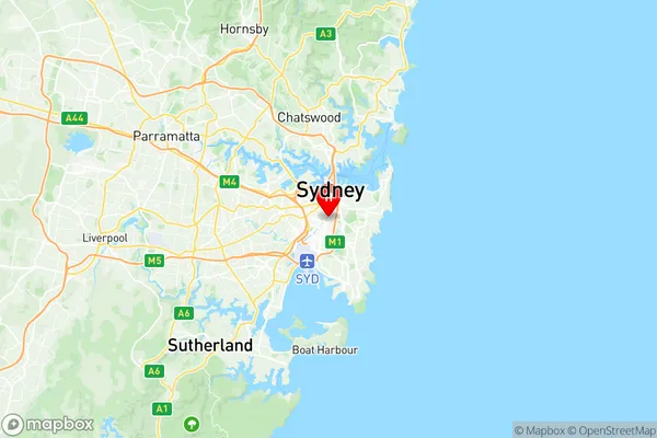
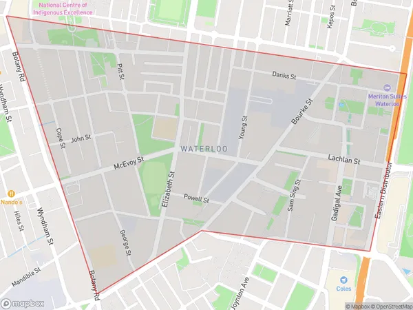
Waterloo Beaconsfield Suburbs & Region, Waterloo Beaconsfield Map & Postcodes
Waterloo Beaconsfield Suburbs & Region, Waterloo Beaconsfield Map & Postcodes in Waterloo Beaconsfield, Sydney Inner City, Sydney City and Inner South, NSW, AU
Waterloo Beaconsfield Region
Region Name
Waterloo Beaconsfield (NSW, AU)Postal Codes
1440, 1441, 2015, 2017, and 2018 (In total, there are 5 postcodes in Waterloo Beaconsfield.)Waterloo Beaconsfield Introduction
The Waterloo Beaconsfield, Sydney City and Inner South, New South Wales, AU postcode is 2019. It is located in the local government area of the City of Canada Bay and falls under the federal division of Watson. The postcode is part of the Sydney metropolitan area and is in the South East Ward. The population of the postcode is estimated to be 2,326 people. Waterloo is a suburb in southern Sydney, located 5 kilometres south-east of the Sydney central business district. It is part of the Sydney urban area and is governed by the City of Canada Bay. The suburb is named after the Battle of Waterloo, which took place in Belgium in 1815. The area was first developed in the 1880s as a residential suburb for workers in the nearby factories. It is known for its large number of Victorian-era houses and its leafy streets. Waterloo is also home to a number of parks and recreational facilities, including the Waterloo Park Reserve and the Beaconsfield Aquatic Centre. The suburb is well-connected to the rest of Sydney, with several bus routes and the South East Light Rail serving it. It is also close to several major shopping centres, including Westfield Chatswood and Chatswood Chase.Australia State
City or Big Region
District or Regional Area
Suburb Name
Waterloo Beaconsfield Region Map

Waterloo Beaconsfield Postcodes / Zip Codes
Waterloo Beaconsfield Suburbs
Waterloo Beaconsfield full address
Waterloo Beaconsfield, Sydney Inner City, Sydney City and Inner South, New South Wales, NSW, Australia, SaCode: 117031338Country
Waterloo Beaconsfield, Sydney Inner City, Sydney City and Inner South, New South Wales, NSW, Australia, SaCode: 117031338
Waterloo Beaconsfield Suburbs & Region, Waterloo Beaconsfield Map & Postcodes has 0 areas or regions above, and there are 7 Waterloo Beaconsfield suburbs below. The sa2code for the Waterloo Beaconsfield region is 117031338. Its latitude and longitude coordinates are -33.9003,151.206.
Waterloo Beaconsfield Suburbs & Localities
1. Waterloo
2. Waterloo
3. Beaconsfield
4. Waterloo
5. Waterloo Dc
6. Zetland
7. Eastlakes
