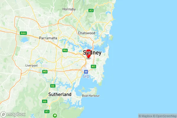
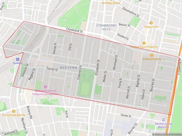
Redfern Chippendale Suburbs & Region, Redfern Chippendale Map & Postcodes
Redfern Chippendale Suburbs & Region, Redfern Chippendale Map & Postcodes in Redfern Chippendale, Sydney Inner City, Sydney City and Inner South, NSW, AU
Redfern Chippendale Region
Region Name
Redfern Chippendale (NSW, AU)Postal Codes
1430, 2008, 2015, and 2016 (In total, there are 4 postcodes in Redfern Chippendale.)Redfern Chippendale Introduction
Redfern Chippendale is a suburb of Sydney, New South Wales, Australia. It is located 3 kilometres south of the Sydney central business district and is part of the City of Sydney local government area. Redfern is known for its vibrant cultural scene, with a large number of Aboriginal and Torres Strait Islander people living in the area. It is home to the Redfern Aboriginal Medical Centre, the oldest Aboriginal medical service in Australia, and the Redfern Community Centre, which provides a range of services and programs for the local community. The suburb is also well-known for its historic buildings, including the Redfern Public School, which was established in 1880, and the Redfern railway station, which was opened in 1889.Australia State
City or Big Region
District or Regional Area
Suburb Name
Redfern Chippendale Region Map

Redfern Chippendale Postcodes / Zip Codes
Redfern Chippendale Suburbs
Redfern Chippendale full address
Redfern Chippendale, Sydney Inner City, Sydney City and Inner South, New South Wales, NSW, Australia, SaCode: 117031335Country
Redfern Chippendale, Sydney Inner City, Sydney City and Inner South, New South Wales, NSW, Australia, SaCode: 117031335
Redfern Chippendale Suburbs & Region, Redfern Chippendale Map & Postcodes has 0 areas or regions above, and there are 4 Redfern Chippendale suburbs below. The sa2code for the Redfern Chippendale region is 117031335. Its latitude and longitude coordinates are -33.895,151.191.
Redfern Chippendale Suburbs & Localities
1. Chippendale
2. Eveleigh
3. Redfern
4. Eveleigh
