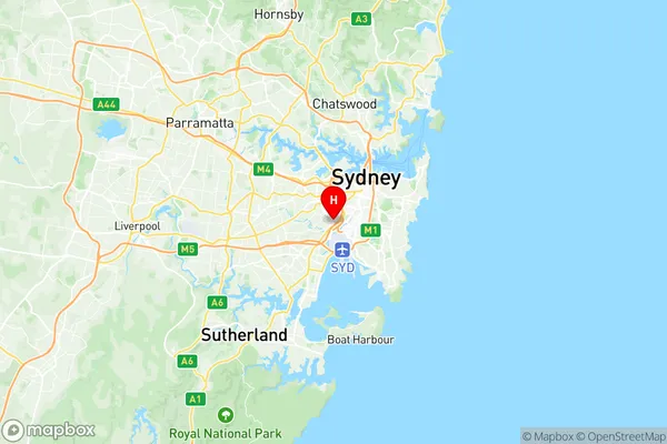
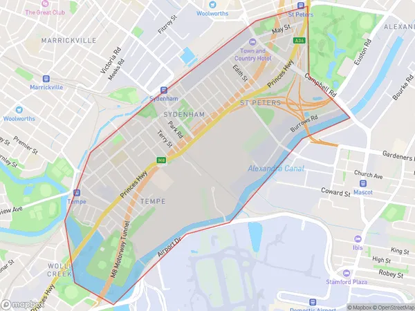
Sydenham Tempe St Peters Suburbs & Region, Sydenham Tempe St Peters Map & Postcodes
Sydenham Tempe St Peters Suburbs & Region, Sydenham Tempe St Peters Map & Postcodes in Sydenham Tempe St Peters, Sydney Inner City, Sydney City and Inner South, NSW, AU
Sydenham Tempe St Peters Region
Region Name
Sydenham Tempe St Peters (NSW, AU)Sydenham Tempe St Peters Area
3.85 square kilometers (3.85 ㎢)Postal Codes
2044 (In total, there are 1 postcodes in Sydenham Tempe St Peters.)Sydenham Tempe St Peters Introduction
Sydenham is a suburb in southern Sydney, in the state of New South Wales, Australia. It is 6 kilometres south-east of the Sydney central business district and is part of the City of Sydney local government area. Sydenham is represented by the Labor Party in the New South Wales Legislative Assembly. The suburb was originally inhabited by the Guringai people, who spoke the Darug language. The area was first settled by Europeans in the 18th century, with the first land grant being made in 1793. The suburb was named after Sydenham, Kent, in England, by the landowner John Palmer, who also laid out the streets. Sydenham is a diverse suburb with a mix of residential, commercial, and industrial areas. It is known for its multicultural population and vibrant community. The suburb has a number of parks and recreational facilities, including Sydenham Park, which is a popular spot for picnics and sports. Sydenham railway station is located on the Bankstown line, providing easy access to the city and other parts of Sydney. The suburb is also well-connected to the M4 motorway, which provides access to the western suburbs and the Sydney International Airport.Australia State
City or Big Region
Greater Capital City
Greater Sydney (1GSYD)District or Regional Area
Suburb Name
Sydenham Tempe St Peters Region Map

Sydenham Tempe St Peters Postcodes / Zip Codes
Sydenham Tempe St Peters Suburbs
Sydenham Tempe St Peters full address
Sydenham Tempe St Peters, Sydney Inner City, Sydney City and Inner South, New South Wales, NSW, Australia, SaCode: 117021328Country
Sydenham Tempe St Peters, Sydney Inner City, Sydney City and Inner South, New South Wales, NSW, Australia, SaCode: 117021328
Sydenham Tempe St Peters Suburbs & Region, Sydenham Tempe St Peters Map & Postcodes has 0 areas or regions above, and there are 4 Sydenham Tempe St Peters suburbs below. The sa2code for the Sydenham Tempe St Peters region is 117021328. Its latitude and longitude coordinates are -33.9158,151.168. Sydenham Tempe St Peters area belongs to Australia's greater capital city Greater Sydney.
Sydenham Tempe St Peters Suburbs & Localities
1. St Peters
2. St Peters Dc
3. Sydenham
