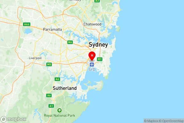
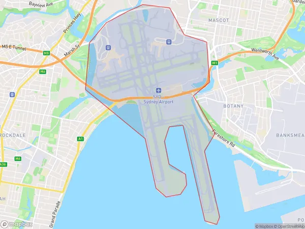
Sydney Airport Suburbs & Region, Sydney Airport Map & Postcodes
Sydney Airport Suburbs & Region, Sydney Airport Map & Postcodes in Sydney Airport, Marrickville Sydenham Petersham, Sydney City and Inner South, NSW, AU
Sydney Airport Region
Region Name
Sydney Airport (NSW, AU)Sydney Airport Area
8.91 square kilometers (8.91 ㎢)Postal Codes
2020 (In total, there are 1 postcodes in Sydney Airport.)Sydney Airport Introduction
Sydney Airport is the main international airport serving Sydney, the capital of New South Wales, Australia. It is located approximately 8 kilometers (5 miles) south of the city center and is the busiest airport in Australia and Oceania. The airport handles over 50 million passengers annually and is a major hub for airlines such as Qantas, Virgin Australia, Emirates, and Singapore Airlines. It offers a wide range of services and facilities, including international and domestic terminals, shopping malls, restaurants, and hotels. Sydney Airport is also a major transportation hub, with regular bus and train services connecting it to the city and surrounding areas.Australia State
City or Big Region
Greater Capital City
Greater Sydney (1GSYD)District or Regional Area
Suburb Name
Sydney Airport Region Map

Sydney Airport Postcodes / Zip Codes
Sydney Airport Suburbs
Sydney Airport full address
Sydney Airport, Marrickville Sydenham Petersham, Sydney City and Inner South, New South Wales, NSW, Australia, SaCode: 117011325Country
Sydney Airport, Marrickville Sydenham Petersham, Sydney City and Inner South, New South Wales, NSW, Australia, SaCode: 117011325
Sydney Airport Suburbs & Region, Sydney Airport Map & Postcodes has 0 areas or regions above, and there are 2 Sydney Airport suburbs below. The sa2code for the Sydney Airport region is 117011325. Its latitude and longitude coordinates are -33.9329,151.18. Sydney Airport area belongs to Australia's greater capital city Greater Sydney.
Sydney Airport Suburbs & Localities
1. Sydney Domestic Airport
2. Sydney International Airport
