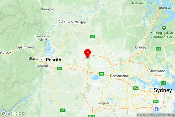
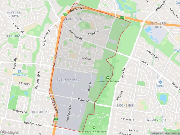
Glendenning Dean Park Suburbs & Region, Glendenning Dean Park Map & Postcodes
Glendenning Dean Park Suburbs & Region, Glendenning Dean Park Map & Postcodes in Glendenning Dean Park, Mount Druitt, Sydney Blacktown, NSW, AU
Glendenning Dean Park Region
Region Name
Glendenning Dean Park (NSW, AU)Glendenning Dean Park Area
5.14 square kilometers (5.14 ㎢)Postal Codes
2761 (In total, there are 1 postcodes in Glendenning Dean Park.)Glendenning Dean Park Introduction
Glendenning Dean Park is a large parkland area located in the western suburbs of Sydney, New South Wales, Australia. It is named after the Glendenning family, who were the original landowners of the land. The park is home to a variety of native plants and animals and is a popular destination for picnics, walking, and cycling. It also features a playground, BBQ facilities, and a cricket pitch. The park is surrounded by residential areas and is easily accessible from the Western Highway.Australia State
City or Big Region
Greater Capital City
Greater Sydney (1GSYD)District or Regional Area
Suburb Name
Glendenning Dean Park Region Map

Glendenning Dean Park Postcodes / Zip Codes
Glendenning Dean Park Suburbs
Glendenning Dean Park full address
Glendenning Dean Park, Mount Druitt, Sydney Blacktown, New South Wales, NSW, Australia, SaCode: 116031314Country
Glendenning Dean Park, Mount Druitt, Sydney Blacktown, New South Wales, NSW, Australia, SaCode: 116031314
Glendenning Dean Park Suburbs & Region, Glendenning Dean Park Map & Postcodes has 0 areas or regions above, and there are 3 Glendenning Dean Park suburbs below. The sa2code for the Glendenning Dean Park region is 116031314. Its latitude and longitude coordinates are -33.7461,150.854. Glendenning Dean Park area belongs to Australia's greater capital city Greater Sydney.
Glendenning Dean Park Suburbs & Localities
1. Dean Park
2. Glendenning
3. Glendenning Dc
