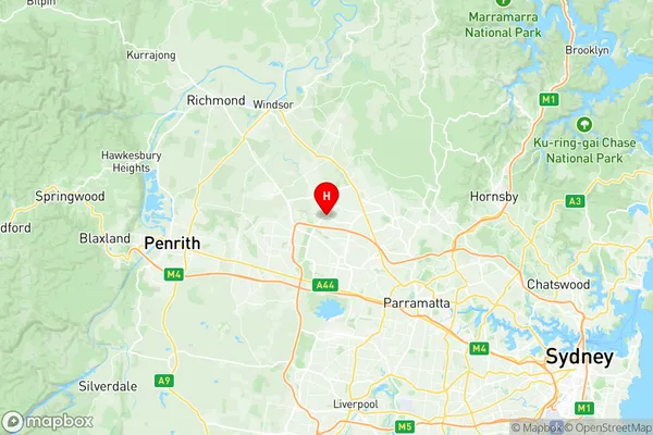
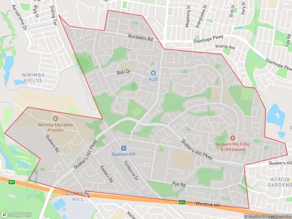
Quakers Hill Suburbs & Region, Quakers Hill Map & Postcodes
Quakers Hill Suburbs & Region, Quakers Hill Map & Postcodes in Quakers Hill, Blacktown North, Sydney Blacktown, NSW, AU
Quakers Hill Region
Region Name
Quakers Hill (NSW, AU)Quakers Hill Area
7.77 square kilometers (7.77 ㎢)Postal Codes
2763 (In total, there are 1 postcodes in Quakers Hill.)Quakers Hill Introduction
Quakers Hill is a suburb in western Sydney, in the state of New South Wales, Australia. It is located 29 kilometers west of the Sydney central business district and is part of the City of Blacktown. Quakers Hill is a large suburb with a population of over 41,000 people. It is known for its well-maintained parks, shopping centers, and residential areas. The suburb has a variety of public facilities, including libraries, swimming pools, and sports clubs. It is also home to several major hospitals, including Westmead Hospital and Blacktown Hospital.Australia State
City or Big Region
Greater Capital City
Greater Sydney (1GSYD)District or Regional Area
Suburb Name
Quakers Hill Region Map

Quakers Hill Postcodes / Zip Codes
Quakers Hill Suburbs
Quakers Hill full address
Quakers Hill, Blacktown North, Sydney Blacktown, New South Wales, NSW, Australia, SaCode: 116021563Country
Quakers Hill, Blacktown North, Sydney Blacktown, New South Wales, NSW, Australia, SaCode: 116021563
Quakers Hill Suburbs & Region, Quakers Hill Map & Postcodes has 0 areas or regions above, and there are 1 Quakers Hill suburbs below. The sa2code for the Quakers Hill region is 116021563. Its latitude and longitude coordinates are -33.7242,150.889. Quakers Hill area belongs to Australia's greater capital city Greater Sydney.
Quakers Hill Suburbs & Localities
1. Quakers Hill
