Parklea Kellyville Ridge Suburbs & Region, Parklea Kellyville Ridge Map & Postcodes
Parklea Kellyville Ridge Suburbs & Region, Parklea Kellyville Ridge Map & Postcodes in Parklea Kellyville Ridge, Blacktown North, Sydney Blacktown, NSW, AU
Parklea Kellyville Ridge Region
Region Name
Parklea Kellyville Ridge (NSW, AU)Postal Codes
2155, and 2768 (In total, there are 2 postcodes in Parklea Kellyville Ridge.)Parklea Kellyville Ridge Introduction
Parklea Kellyville Ridge is a suburb in the City of Blacktown of New South Wales, Australia. It is located 34 kilometres west of Sydney's central business district and is part of the Greater Western Sydney region. The suburb is named after the Kellyville Ridge, a small mountain range that forms part of its western boundary. Parklea is a planned community with a mix of residential and commercial properties. It has a variety of shops, restaurants, and parks, including the Parklea Country Club and the Kellyville Ridge Public School. The suburb is well-connected to public transport, with the Kellyville Ridge railway station located on the Main Western line and the Westlink M7 motorway nearby.Australia State
City or Big Region
District or Regional Area
Suburb Name
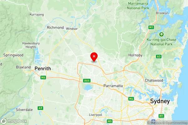
Parklea Kellyville Ridge Region Map

Parklea Kellyville Ridge Postcodes / Zip Codes
Parklea Kellyville Ridge Suburbs
Parklea Kellyville Ridge full address
Parklea Kellyville Ridge, Blacktown North, Sydney Blacktown, New South Wales, NSW, Australia, SaCode: 116021310Country
Parklea Kellyville Ridge, Blacktown North, Sydney Blacktown, New South Wales, NSW, Australia, SaCode: 116021310
Parklea Kellyville Ridge Suburbs & Region, Parklea Kellyville Ridge Map & Postcodes has 0 areas or regions above, and there are 3 Parklea Kellyville Ridge suburbs below. The sa2code for the Parklea Kellyville Ridge region is 116021310. Its latitude and longitude coordinates are -33.7291,150.919.
Parklea Kellyville Ridge Suburbs & Localities
1. Kellyville Ridge
2. Parklea
3. Stanhope Gardens
