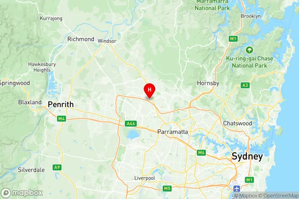
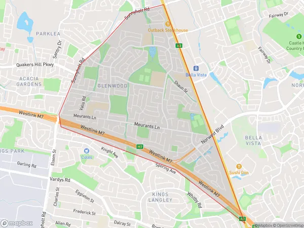
Glenwood Suburbs & Region, Glenwood Map & Postcodes
Glenwood Suburbs & Region, Glenwood Map & Postcodes in Glenwood, Blacktown North, Sydney Blacktown, NSW, AU
Glenwood Region
Region Name
Glenwood (NSW, AU)Glenwood Area
5.12 square kilometers (5.12 ㎢)Postal Codes
2768 (In total, there are 1 postcodes in Glenwood.)Glenwood Introduction
Glenwood is a suburb in the City of Blacktown of New South Wales, Australia. It is located 32 kilometres west of Sydney's central business district and is part of the Greater Western Sydney region. The suburb is named after the Glenwood railway station, which was located on the Main Western line. Glenwood is a diverse suburb with a mix of residential and commercial properties. The residential areas include single-family homes, townhouses, and apartments. The suburb has a number of parks and recreational facilities, including the Glenwood Park Sports Complex, which includes a cricket oval, tennis courts, and a swimming pool. The suburb is also home to a number of major shopping centres, including the Glenwood Plaza and the Blacktown Markets. The area is served by several bus routes and has a train station on the Main Western line. Glenwood is a popular suburb for families and young professionals due to its affordable housing, good schools, and convenient location. It is also known for its vibrant community spirit and cultural diversity.Australia State
City or Big Region
Greater Capital City
Greater Sydney (1GSYD)District or Regional Area
Suburb Name
Glenwood Region Map

Glenwood Postcodes / Zip Codes
Glenwood Suburbs
Glenwood full address
Glenwood, Blacktown North, Sydney Blacktown, New South Wales, NSW, Australia, SaCode: 116021309Country
Glenwood, Blacktown North, Sydney Blacktown, New South Wales, NSW, Australia, SaCode: 116021309
Glenwood Suburbs & Region, Glenwood Map & Postcodes has 0 areas or regions above, and there are 1 Glenwood suburbs below. The sa2code for the Glenwood region is 116021309. Its latitude and longitude coordinates are -33.7399,150.939. Glenwood area belongs to Australia's greater capital city Greater Sydney.
Glenwood Suburbs & Localities
1. Glenwood
