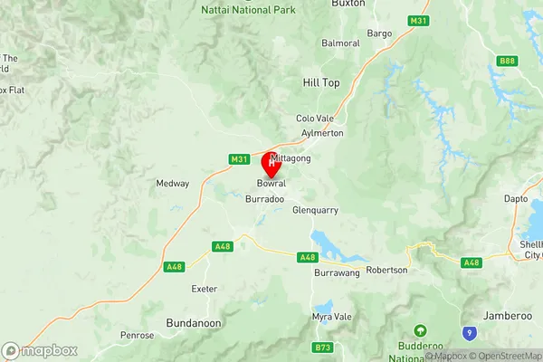
Bowral Suburbs & Region, Bowral Map & Postcodes
Bowral Suburbs & Region, Bowral Map & Postcodes in Bowral, Southern Highlands, Southern Highlands and Shoalhaven, NSW, AU
Bowral Region
Region Name
Bowral (NSW, AU)Bowral Area
55.57 square kilometers (55.57 ㎢)Postal Codes
2576 (In total, there are 1 postcodes in Bowral.)Bowral Introduction
Bowral, Southern Highlands, and Shoalhaven are districts in the Southern Highlands region of New South Wales, Australia. They are located about 125 kilometers south of Sydney and are known for their scenic beauty, including the Bowral Autumn Festival and the Gibraltar Range. The area is home to many historic sites, including the Bowral Heritage Centre and the Berrima Gaol. The districts are also popular with tourists and outdoor enthusiasts, with many walking trails and parks.Australia State
City or Big Region
Greater Capital City
Rest of NSW (1RNSW)District or Regional Area
Suburb Name
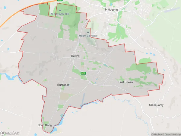
Bowral Region Map

Bowral Postcodes / Zip Codes
Bowral Suburbs
Bowral full address
Bowral, Southern Highlands, Southern Highlands and Shoalhaven, New South Wales, NSW, Australia, SaCode: 114021284Country
Bowral, Southern Highlands, Southern Highlands and Shoalhaven, New South Wales, NSW, Australia, SaCode: 114021284
Bowral Suburbs & Region, Bowral Map & Postcodes has 0 areas or regions above, and there are 4 Bowral suburbs below. The sa2code for the Bowral region is 114021284. Its latitude and longitude coordinates are -34.4788,150.418. Bowral area belongs to Australia's greater capital city Rest of NSW.
Bowral Suburbs & Localities
1. Bong Bong
2. East Bowral
3. Bowral
4. Burradoo
