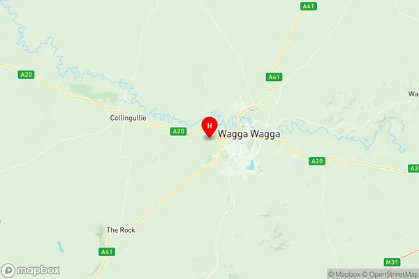
Wagga Wagga West Suburbs & Region, Wagga Wagga West Map & Postcodes
Wagga Wagga West Suburbs & Region, Wagga Wagga West Map & Postcodes in Wagga Wagga West, Wagga Wagga, Riverina, NSW, AU
Wagga Wagga West Region
Region Name
Wagga Wagga West (NSW, AU)Wagga Wagga West Area
54.94 square kilometers (54.94 ㎢)Postal Codes
2650, and 2661 (In total, there are 2 postcodes in Wagga Wagga West.)Wagga Wagga West Introduction
Wagga Wagga West is a suburb of Wagga Wagga, New South Wales, Australia. It is located on the banks of the Murrumbidgee River and is part of the Riverina region. The suburb has a population of around 10,000 people and is known for its historic architecture and cultural heritage. It is home to several important landmarks, including the Wagga Wagga Civic Theatre and the Wagga Wagga Botanic Gardens. Wagga Wagga West is also a popular destination for outdoor activities, including fishing, camping, and hiking. The suburb is located approximately 350 kilometers southwest of Sydney and 25 kilometers southeast of Wagga Wagga.Australia State
City or Big Region
Greater Capital City
Rest of NSW (1RNSW)District or Regional Area
Suburb Name
Wagga Wagga West Region Map

Wagga Wagga West Postcodes / Zip Codes
Wagga Wagga West Suburbs
Wagga Wagga West full address
Wagga Wagga West, Wagga Wagga, Riverina, New South Wales, NSW, Australia, SaCode: 113031270Country
Wagga Wagga West, Wagga Wagga, Riverina, New South Wales, NSW, Australia, SaCode: 113031270
Wagga Wagga West Suburbs & Region, Wagga Wagga West Map & Postcodes has 0 areas or regions above, and there are 7 Wagga Wagga West suburbs below. The sa2code for the Wagga Wagga West region is 113031270. Its latitude and longitude coordinates are -35.1244,147.29. Wagga Wagga West area belongs to Australia's greater capital city Rest of NSW.
Wagga Wagga West Suburbs & Localities
1. Moorong
2. San Isidore
3. Wagga Wagga
4. Wagga Wagga South
5. Kapooka
6. Ashmont
7. Wagga Wagga Bc
