Moorong Area, Moorong Postcode(2650) & Map in Moorong, Riverina, NSW
Moorong Area, Moorong Postcode(2650) & Map in Moorong, Riverina, NSW, AU, Postcode: 2650
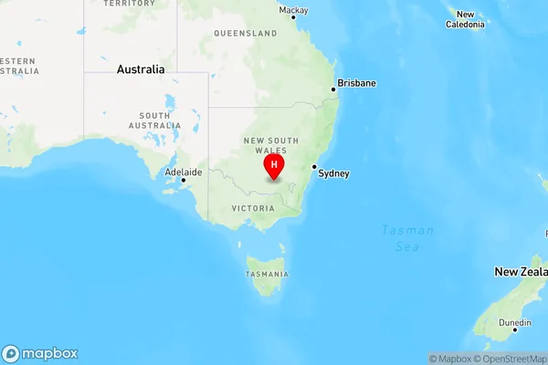
Moorong, Wagga Wagga - West, Wagga Wagga, Riverina, New South Wales, Australia, 2650
Moorong Postcode
Area Name
MoorongMoorong Suburb Area Map (Polygon)

Moorong Introduction
Moorong is a small township in the Riverina region of New South Wales, Australia. It is located on the banks of the Murray River and is known for its historic railway station and the nearby Moorong Nature Reserve. The reserve is a popular spot for birdwatching and hiking and is home to a variety of native plants and animals. Moorong is a charming town with a relaxed atmosphere and a strong sense of community.State Name
City or Big Region
District or Regional Area
Suburb Name
Moorong Region Map

Country
Main Region in AU
R3Coordinates
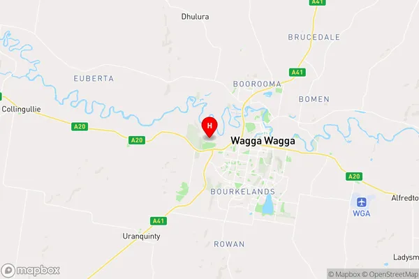
-35.114067,147.315267 (latitude/longitude)Moorong Area Map (Street)

Longitude
147.376202Latitude
-35.07459Moorong Elevation
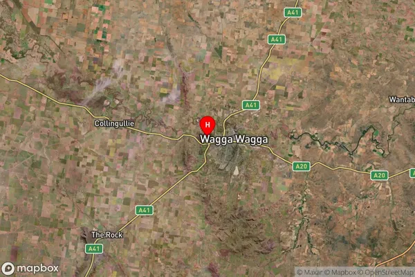
about 179.00 meters height above sea level (Altitude)Moorong Suburb Map (Satellite)

Distances
The distance from Moorong, Riverina, NSW to AU Greater Capital CitiesSA1 Code 2011
11303127002SA1 Code 2016
11303127034SA2 Code
113031270SA3 Code
11303SA4 Code
113RA 2011
2RA 2016
2MMM 2015
3MMM 2019
3Charge Zone
N2LGA Region
Wagga WaggaLGA Code
17750Electorate
Riverina