Tumut Region Suburbs & Region, Tumut Region Map & Postcodes
Tumut Region Suburbs & Region, Tumut Region Map & Postcodes in Tumut Region, Wagga Wagga, Riverina, NSW, AU
Tumut Region Region
Region Name
Tumut Region (NSW, AU)Tumut Region Area
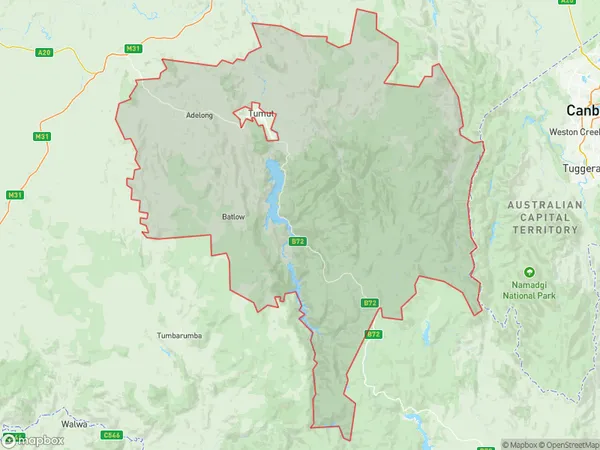
4614 square kilometers (4,614 ㎢)Tumut Region Suburb Area Map (Polygon)
Tumut Region Introduction
The Tumut Region is a region in the Riverina district of New South Wales, Australia. It is located in the upper Murray River catchment and is home to the towns of Tumut, Adelong, and Gundagai. The region is known for its agriculture, particularly wheat and sheep farming, and for its scenic natural beauty, including the Tumut Mountains and the Murray River. The region has a rich history and is home to several historic sites, including the Tumut Hydroelectric Power Station and the Gundagai Historic Town.Australia State
City or Big Region
Greater Capital City
Rest of NSW (1RNSW)District or Regional Area
Suburb Name
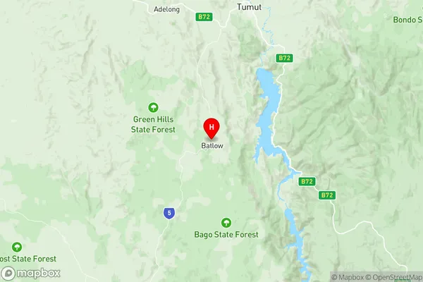
Tumut Region Region Map
Tumut Region Suburbs
Tumut Region full address
Tumut Region, Wagga Wagga, Riverina, New South Wales, NSW, Australia, SaCode: 113021262Country
Tumut Region, Wagga Wagga, Riverina, New South Wales, NSW, Australia, SaCode: 113021262
Tumut Region Suburbs & Region, Tumut Region Map & Postcodes has 0 areas or regions above, and there are 0 Tumut Region suburbs below. The sa2code for the Tumut Region region is 113021262. Its latitude and longitude coordinates are -35.5167,148.15. Tumut Region area belongs to Australia's greater capital city Rest of NSW.