Grahamstown Area, Grahamstown Postcode(2729) & Map in Grahamstown, Riverina, NSW
Grahamstown Area, Grahamstown Postcode(2729) & Map in Grahamstown, Riverina, NSW, AU, Postcode: 2729
Grahamstown, Tumut Region, Tumut - Tumbarumba, Riverina, New South Wales, Australia, 2729
Grahamstown Postcode
Area Name
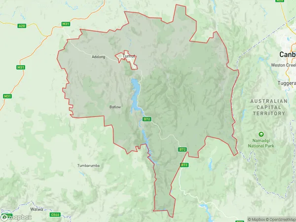
GrahamstownGrahamstown Suburb Area Map (Polygon)

Grahamstown Introduction
Grahamstown is a historic town in the Riverina region of New South Wales, Australia. It is known for its well-preserved colonial architecture and is a popular tourist destination. The town is home to several museums, including the National Trust-listed Grahamstown Courthouse Museum and the Old Government House Museum. It is also the birthplace of the famous Australian poet and playwright William Charles (W.C.) Yeats.State Name
City or Big Region
District or Regional Area
Suburb Name
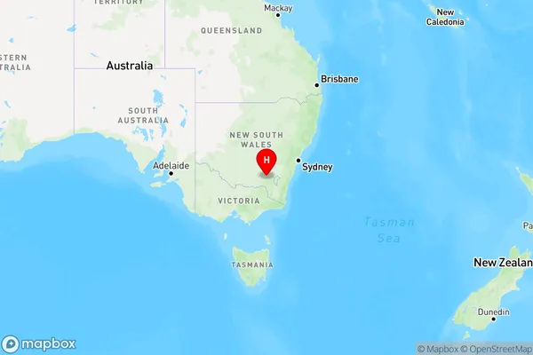
Grahamstown Region Map

Country
Main Region in AU
R3Coordinates
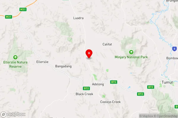
-35.2596484,148.0423794 (latitude/longitude)Grahamstown Area Map (Street)

Longitude
147.923797Latitude
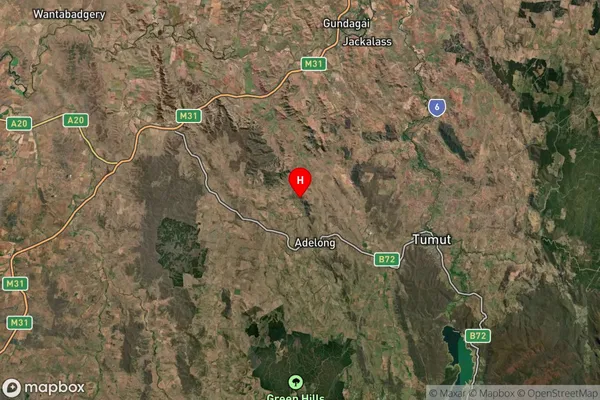
-35.227753Grahamstown Suburb Map (Satellite)

Distances
The distance from Grahamstown, Riverina, NSW to AU Greater Capital CitiesSA1 Code 2011
11302126213SA1 Code 2016
11302126213SA2 Code
113021262SA3 Code
11302SA4 Code
113RA 2011
2RA 2016
2MMM 2015
5MMM 2019
5Charge Zone
N2LGA Region
Cootamundra-Gundagai RegionalLGA Code
12160Electorate
Riverina