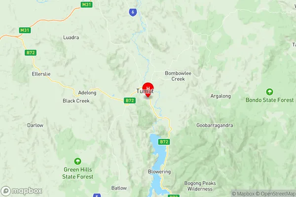
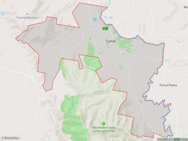
Tumut Suburbs & Region, Tumut Map & Postcodes
Tumut Suburbs & Region, Tumut Map & Postcodes in Tumut, Tumut Tumbarumba, Riverina, NSW, AU
Tumut Region
Region Name
Tumut (NSW, AU)Tumut Area
40.31 square kilometers (40.31 ㎢)Postal Codes
2720 (In total, there are 1 postcodes in Tumut.)Tumut Introduction
Tumut is a town in the Riverina region of New South Wales, Australia. It is situated on the banks of the Murrumbidgee River, approximately 350 kilometers south-west of Sydney and 20 kilometers north-east of Wagga Wagga. The town is known for its historic timber mills and its role as a major agricultural center in the region. The population of Tumut is approximately 4,000 people. The town has a variety of amenities, including a supermarket, a hospital, a primary school, and a community center. The surrounding area is popular for fishing, camping, and hiking, and the town is also home to a number of sporting clubs and organizations.Australia State
City or Big Region
Greater Capital City
Rest of NSW (1RNSW)District or Regional Area
Suburb Name
Tumut Region Map

Tumut Postcodes / Zip Codes
Tumut Suburbs
Tumut full address
Tumut, Tumut Tumbarumba, Riverina, New South Wales, NSW, Australia, SaCode: 113021261Country
Tumut, Tumut Tumbarumba, Riverina, New South Wales, NSW, Australia, SaCode: 113021261
Tumut Suburbs & Region, Tumut Map & Postcodes has 0 areas or regions above, and there are 1 Tumut suburbs below. The sa2code for the Tumut region is 113021261. Its latitude and longitude coordinates are -35.3208,148.232. Tumut area belongs to Australia's greater capital city Rest of NSW.
Tumut Suburbs & Localities
1. Tumut
