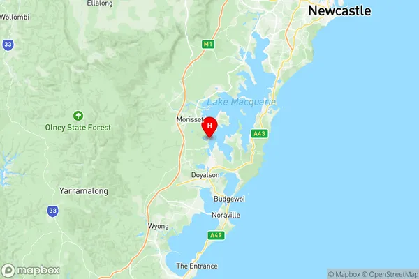
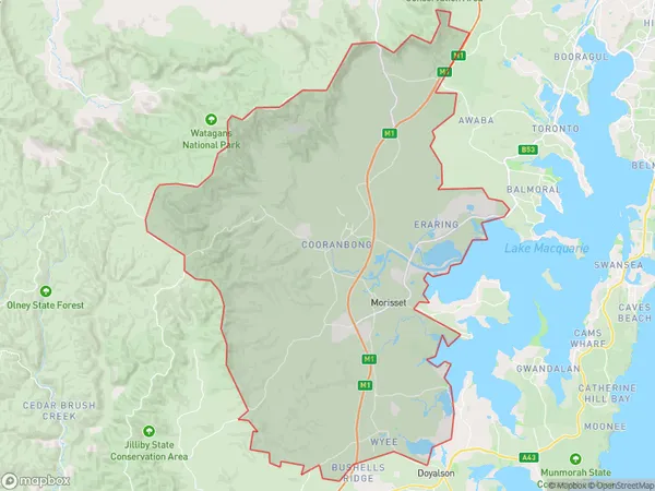
Morisset Cooranbong Suburbs & Region, Morisset Cooranbong Map & Postcodes
Morisset Cooranbong Suburbs & Region, Morisset Cooranbong Map & Postcodes in Morisset Cooranbong, Lake Macquarie West, Newcastle and Lake Macquarie, NSW, AU
Morisset Cooranbong Region
Region Name
Morisset Cooranbong (NSW, AU)Morisset Cooranbong Area
330.52 square kilometers (330.52 ㎢)Postal Codes
2259, 2264, 2265, and 2323 (In total, there are 4 postcodes in Morisset Cooranbong.)Morisset Cooranbong Introduction
Morisset Cooranbong, Newcastle and Lake Macquarie is a local government area in the Hunter Region of New South Wales, Australia. It is located about 65 kilometers (40 mi) south of Newcastle's central business district and covers an area of 1,112 square kilometers (427 sq mi). The area includes the suburbs of Morisset, Cooranbong, Lake Macquarie, Cardiff, Charlestown, and Kotara. The population of the area was 56,483 at the 2016 census.Australia State
City or Big Region
Greater Capital City
Rest of NSW (1RNSW)District or Regional Area
Suburb Name
Morisset Cooranbong Region Map

Morisset Cooranbong Postcodes / Zip Codes
Morisset Cooranbong Suburbs
Morisset Cooranbong full address
Morisset Cooranbong, Lake Macquarie West, Newcastle and Lake Macquarie, New South Wales, NSW, Australia, SaCode: 111021218Country
Morisset Cooranbong, Lake Macquarie West, Newcastle and Lake Macquarie, New South Wales, NSW, Australia, SaCode: 111021218
Morisset Cooranbong Suburbs & Region, Morisset Cooranbong Map & Postcodes has 0 areas or regions above, and there are 10 Morisset Cooranbong suburbs below. The sa2code for the Morisset Cooranbong region is 111021218. Its latitude and longitude coordinates are -33.14,151.526. Morisset Cooranbong area belongs to Australia's greater capital city Rest of NSW.
Morisset Cooranbong Suburbs & Localities
1. Mandalong
2. Cooranbong
3. Martinsville
4. Dora Creek
5. Eraring
6. Myuna Bay
7. Wyee
8. Wyee Point
9. Morisset
10. Freemans Waterhole
