Freemans Waterhole Area, Freemans Waterhole Postcode(2323) & Map in Freemans Waterhole, Newcastle and Lake Macquarie, NSW
Freemans Waterhole Area, Freemans Waterhole Postcode(2323) & Map in Freemans Waterhole, Newcastle and Lake Macquarie, NSW, AU, Postcode: 2323
Freemans Waterhole, Morisset - Cooranbong, Lake Macquarie - West, Newcastle and Lake Macquarie, New South Wales, Australia, 2323
Freemans Waterhole Postcode
Area Name
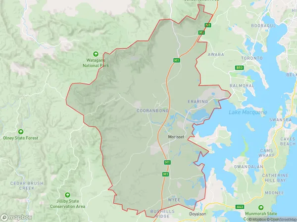
Freemans WaterholeFreemans Waterhole Suburb Area Map (Polygon)
Freemans Waterhole Introduction
Freemans Waterhole is a popular swimming spot and picnic area located on the banks of the Hunter River in Newcastle and Lake Macquarie, NSW, AU. It is named after the Freemans family, who were early settlers in the area. The waterhole is surrounded by lush vegetation and offers a peaceful and scenic environment for visitors to relax and enjoy. It is also a popular spot for fishing, with a variety of fish species available in the river.State Name
City or Big Region
District or Regional Area
Suburb Name
Freemans Waterhole Region Map

Country
Main Region in AU
R3Coordinates
-33.0004175,151.4807611 (latitude/longitude)Freemans Waterhole Area Map (Street)

Longitude
151.607554Latitude
-32.757616Freemans Waterhole Elevation
about 14.07 meters height above sea level (Altitude)Freemans Waterhole Suburb Map (Satellite)

Distances
The distance from Freemans Waterhole, Newcastle and Lake Macquarie, NSW to AU Greater Capital CitiesSA1 Code 2011
11102121826SA1 Code 2016
11102121826SA2 Code
111021218SA3 Code
11102SA4 Code
111RA 2011
2RA 2016
2MMM 2015
2MMM 2019
2Charge Zone
N2LGA Region
MaitlandLGA Code
15050Electorate
Paterson