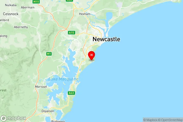
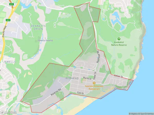
Redhead Suburbs & Region, Redhead Map & Postcodes
Redhead Suburbs & Region, Redhead Map & Postcodes in Redhead, Newcastle, Newcastle and Lake Macquarie, NSW, AU
Redhead Region
Region Name
Redhead (NSW, AU)Redhead Area
3.68 square kilometers (3.68 ㎢)Postal Codes
2290 (In total, there are 1 postcodes in Redhead.)Redhead Introduction
Redhead is a suburb on the southern side of Lake Macquarie, New South Wales, Australia. It is part of the City of Lake Macquarie local government area. The suburb is named after the Redhead Peninsula that forms its western boundary. It is located approximately 60 kilometers (37 mi) north of Sydney and 90 kilometers (56 mi) south of Newcastle. The population of Redhead at the 2016 census was 10,669. The suburb has a mix of residential and commercial properties, with several shopping centers, parks, and recreational facilities. The area is known for its beautiful beaches, including Redhead Beach and Blacksmiths Beach, and its popular fishing spots. Redhead is also home to a number of historic buildings, including the Redhead Lighthouse and the Redhead Surf Life Saving Club.Australia State
City or Big Region
Greater Capital City
Rest of NSW (1RNSW)District or Regional Area
Suburb Name
Redhead Region Map

Redhead Postcodes / Zip Codes
Redhead Suburbs
Redhead full address
Redhead, Newcastle, Newcastle and Lake Macquarie, New South Wales, NSW, Australia, SaCode: 111011211Country
Redhead, Newcastle, Newcastle and Lake Macquarie, New South Wales, NSW, Australia, SaCode: 111011211
Redhead Suburbs & Region, Redhead Map & Postcodes has 0 areas or regions above, and there are 1 Redhead suburbs below. The sa2code for the Redhead region is 111011211. Its latitude and longitude coordinates are -33.0098,151.715. Redhead area belongs to Australia's greater capital city Rest of NSW.
Redhead Suburbs & Localities
1. Redhead
