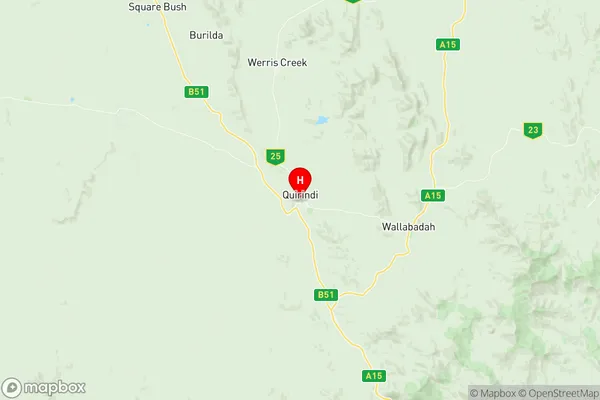
Quirindi Suburbs & Region, Quirindi Map & Postcodes
Quirindi Suburbs & Region, Quirindi Map & Postcodes in Quirindi, Tamworth Gunnedah, New England and North West, NSW, AU
Quirindi Region
Region Name
Quirindi (NSW, AU)Quirindi Area
5078 square kilometers (5,078 ㎢)Quirindi Introduction
Quirindi is a town in the North West Slopes district of New South Wales, Australia. It is located in the Walgett Shire and is situated on the Kamilaroi Highway. The town is a service centre for the surrounding agricultural area and has a population of around 2,000 people. The town is named after the Quirindi River, which flows through the area. The Quirindi National Park is located nearby and is a popular destination for tourists. The town has a hospital, a primary school, a secondary school, a supermarket, a post office, and a variety of other services.Australia State
City or Big Region
Greater Capital City
Rest of NSW (1RNSW)District or Regional Area
Suburb Name
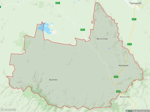
Quirindi Region Map

Quirindi Suburbs
Quirindi full address
Quirindi, Tamworth Gunnedah, New England and North West, New South Wales, NSW, Australia, SaCode: 110041201Country
Quirindi, Tamworth Gunnedah, New England and North West, New South Wales, NSW, Australia, SaCode: 110041201
Quirindi Suburbs & Region, Quirindi Map & Postcodes has 0 areas or regions above, and there are 0 Quirindi suburbs below. The sa2code for the Quirindi region is 110041201. Its latitude and longitude coordinates are -31.5081,150.68. Quirindi area belongs to Australia's greater capital city Rest of NSW.
