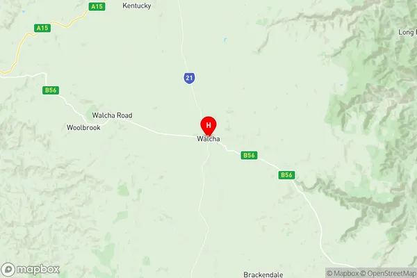
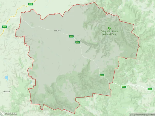
Walcha Suburbs & Region, Walcha Map & Postcodes
Walcha Suburbs & Region, Walcha Map & Postcodes in Walcha, Tamworth Gunnedah, New England and North West, NSW, AU
Walcha Region
Region Name
Walcha (NSW, AU)Walcha Area
6743 square kilometers (6,743 ㎢)Walcha Introduction
Walcha is a town in the New England region of New South Wales, Australia. It is situated in the Walcha Shire local government area and is about 450 kilometers north-west of Sydney. The town is surrounded by the Macleay River and the Walcha Mountains and is known for its scenic beauty and agricultural industry. The population of Walcha was 1,227 at the 2016 census. The town has a primary school, a post office, a general store, and a community hall. The main industries in the area are farming and tourism. The town is also home to the Walcha Cheese Factory, which produces a variety of cheeses using milk from local cows. The nearby Walcha Historic Village is a popular tourist destination, with a collection of historic buildings and a museum.Australia State
City or Big Region
Greater Capital City
Rest of NSW (1RNSW)District or Regional Area
Suburb Name
Walcha Region Map

Walcha Suburbs
Walcha full address
Walcha, Tamworth Gunnedah, New England and North West, New South Wales, NSW, Australia, SaCode: 110011189Country
Walcha, Tamworth Gunnedah, New England and North West, New South Wales, NSW, Australia, SaCode: 110011189
Walcha Suburbs & Region, Walcha Map & Postcodes has 0 areas or regions above, and there are 0 Walcha suburbs below. The sa2code for the Walcha region is 110011189. Its latitude and longitude coordinates are -30.9852,151.593. Walcha area belongs to Australia's greater capital city Rest of NSW.
