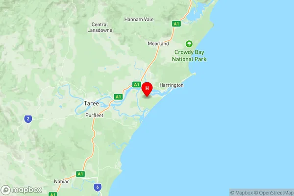
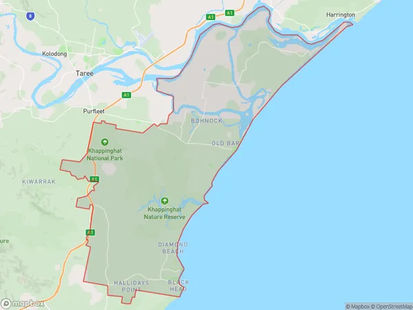
Old Bar Manning Point Red Head Suburbs & Region, Old Bar Manning Point Red Head Map & Postcodes
Old Bar Manning Point Red Head Suburbs & Region, Old Bar Manning Point Red Head Map & Postcodes in Old Bar Manning Point Red Head, Taree Gloucester, Mid North Coast, NSW, AU
Old Bar Manning Point Red Head Region
Region Name
Old Bar Manning Point Red Head (NSW, AU)Old Bar Manning Point Red Head Area
209.62 square kilometers (209.62 ㎢)Old Bar Manning Point Red Head Introduction
Old Bar Manning Point Red Head is a headland located on the Mid North Coast of New South Wales, Australia. It is situated between the towns of Old Bar and Manning Point and is known for its stunning red rock formation that rises up to 100 meters above sea level. The headland is a popular spot for hiking, camping, and fishing, with many scenic walks and picnic areas to explore. The area is also home to a variety of wildlife, including kangaroos, wallabies, and birds. The headland is part of the Mid North Coast National Park and is a protected area under the National Parks and Wildlife Act 1974.Australia State
City or Big Region
Greater Capital City
Rest of NSW (1RNSW)District or Regional Area
Suburb Name
Old Bar Manning Point Red Head Region Map

Old Bar Manning Point Red Head Suburbs
Old Bar Manning Point Red Head full address
Old Bar Manning Point Red Head, Taree Gloucester, Mid North Coast, New South Wales, NSW, Australia, SaCode: 108051168Country
Old Bar Manning Point Red Head, Taree Gloucester, Mid North Coast, New South Wales, NSW, Australia, SaCode: 108051168
Old Bar Manning Point Red Head Suburbs & Region, Old Bar Manning Point Red Head Map & Postcodes has 0 areas or regions above, and there are 0 Old Bar Manning Point Red Head suburbs below. The sa2code for the Old Bar Manning Point Red Head region is 108051168. Its latitude and longitude coordinates are -31.9,152.617. Old Bar Manning Point Red Head area belongs to Australia's greater capital city Rest of NSW.
