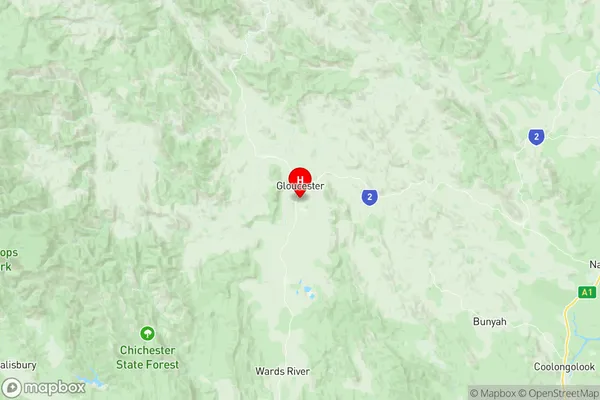
Gloucester Suburbs & Region, Gloucester Map & Postcodes
Gloucester Suburbs & Region, Gloucester Map & Postcodes in Gloucester, Taree Gloucester, Mid North Coast, NSW, AU
Gloucester Region
Region Name
Gloucester (NSW, AU)Gloucester Area
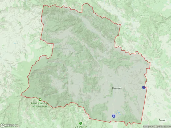
2934 square kilometers (2,934 ㎢)Postal Codes
2422, and 2424 (In total, there are 2 postcodes in Gloucester.)Gloucester Introduction
Gloucester is a city in the Mid North Coast region of New South Wales, Australia. It is located about 450 kilometers north of Sydney and 55 kilometers south of the regional capital, Port Macquarie. The city is situated on the banks of the Gloucester River and is known for its rich agricultural heritage, including the production of apples, cherries, and pears. Gloucester is also home to a number of tourist attractions, including the Gloucester National Park, which is a World Heritage Site, and the Gloucester Cheese Factory. The city has a population of around 20,000 people and is a popular destination for retirees and holidaymakers.Australia State
City or Big Region
Greater Capital City
Rest of NSW (1RNSW)District or Regional Area
Suburb Name
Gloucester Region Map

Gloucester Postcodes / Zip Codes
Gloucester Suburbs
Gloucester full address
Gloucester, Taree Gloucester, Mid North Coast, New South Wales, NSW, Australia, SaCode: 108051167Country
Gloucester, Taree Gloucester, Mid North Coast, New South Wales, NSW, Australia, SaCode: 108051167
Gloucester Suburbs & Region, Gloucester Map & Postcodes has 0 areas or regions above, and there are 53 Gloucester suburbs below. The sa2code for the Gloucester region is 108051167. Its latitude and longitude coordinates are -32.0233,151.959. Gloucester area belongs to Australia's greater capital city Rest of NSW.
Gloucester Suburbs & Localities
1. Berrico
2. Bretti
3. Bundook
4. Callaghans Creeks
5. Corroboree Flat
6. Gangat
7. Gloucester Tops
8. Invergordon
9. Pitlochry
10. Upper Bowman
11. Back Creek
12. Bindera
13. Coneac
14. Glen Ward
15. Gloucester
16. Kia Ora
17. Titaatee Creek
18. Waukivory
19. Wirradgurie
20. Bakers Creek
21. Barrington
22. Baxters Ridge
23. Bulliac
24. Copeland
25. Craven
26. Craven Plateau
27. Dewitt
28. Faulkland
29. Forbesdale
30. Mernot
31. Mograni Creek
32. Stratford
33. Tugrabakh
34. Wallanbah
35. Wapra
36. Barrington Tops
37. Bowman
38. Bowman Farm
39. Callaghans Creek
40. Cobark
41. Curricabark
42. Doon Ayre
43. Giro
44. Mares Run
45. Maudville
46. Mograni
47. Moppy
48. Mount Peerless
49. Rawdon Vale
50. Rookhurst
51. Tibbuc
52. Woko
53. Tiri
