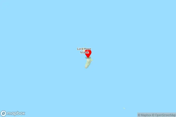
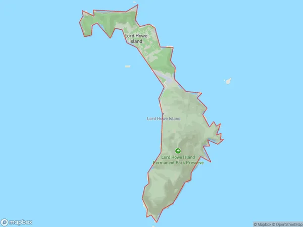
Lord Howe Island Suburbs & Region, Lord Howe Island Map & Postcodes
Lord Howe Island Suburbs & Region, Lord Howe Island Map & Postcodes in Lord Howe Island, Mid North Coast, NSW, AU
Lord Howe Island Region
Region Name
Lord Howe Island (NSW, AU)Lord Howe Island Area
16.29 square kilometers (16.29 ㎢)Postal Codes
2898 (In total, there are 1 postcodes in Lord Howe Island.)Lord Howe Island Introduction
Located off the coast of New South Wales, Australia, Lord Howe Island is a small island paradise known for its stunning natural beauty, rich biodiversity, and unique geological features. It is part of the Lord Howe Island Group and is administered by the New South Wales National Parks and Wildlife Service. The island is home to a diverse range of plant and animal species, including the world's largest population of the critically endangered Lord Howe Island stick insect. The island has a rich cultural heritage, with evidence of human settlement dating back thousands of years. It is also a popular destination for hiking, snorkeling, and scuba diving, with many pristine beaches and crystal-clear waters to explore.Australia State
City or Big Region
Greater Capital City
Rest of NSW (1RNSW)District or Regional Area
Suburb Name
Lord Howe Island Region Map

Lord Howe Island Postcodes / Zip Codes
Lord Howe Island Suburbs
Lord Howe Island full address
Lord Howe Island, Mid North Coast, New South Wales, NSW, Australia, SaCode: 108031161Country
Lord Howe Island, Mid North Coast, New South Wales, NSW, Australia, SaCode: 108031161
Lord Howe Island Suburbs & Region, Lord Howe Island Map & Postcodes has 0 areas or regions above, and there are 1 Lord Howe Island suburbs below. The sa2code for the Lord Howe Island region is 108031161. Its latitude and longitude coordinates are -31.5553,159.082. Lord Howe Island area belongs to Australia's greater capital city Rest of NSW.
Lord Howe Island Suburbs & Localities
1. Lord Howe Island
