Lord Howe Island Area, Lord Howe Island Postcode(2898) & Map in Lord Howe Island, Mid North Coast, NSW
Lord Howe Island Area, Lord Howe Island Postcode(2898) & Map in Lord Howe Island, Mid North Coast, NSW, AU, Postcode: 2898
Lord Howe Island, Lord Howe Island, Lord Howe Island, Mid North Coast, New South Wales, Australia, 2898
Lord Howe Island Postcode
Area Name
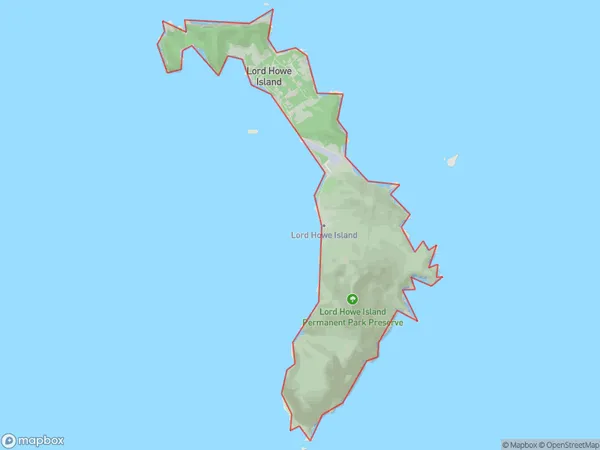
Lord Howe IslandLord Howe Island Suburb Area Map (Polygon)

Lord Howe Island Introduction
Located off the coast of New South Wales, Australia, Lord Howe Island is a volcanic island renowned for its stunning coral reefs, lush forests, and diverse marine life. It is a popular destination for snorkeling, hiking, and birdwatching and is home to a small population of humans. The island has a rich cultural heritage and is protected as a UNESCO World Heritage Site.State Name
City or Big Region
District or Regional Area
Suburb Name
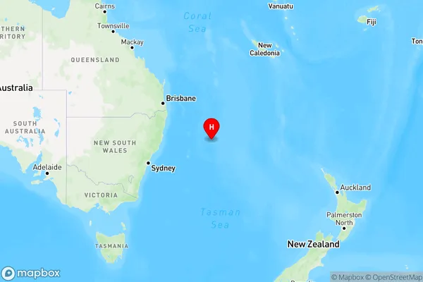
Lord Howe Island Region Map

Country
Main Region in AU
R3Coordinates
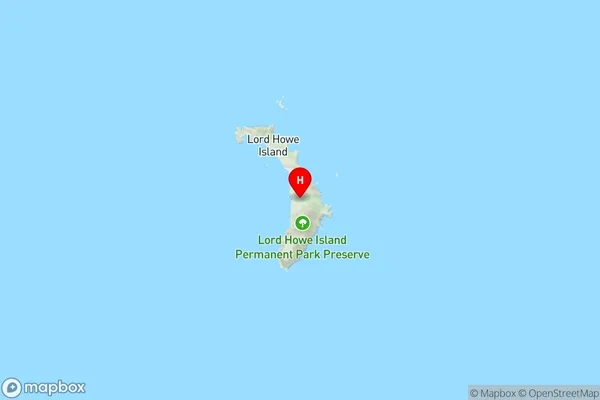
-31.5553263,159.0821211 (latitude/longitude)Lord Howe Island Area Map (Street)

Longitude
159.081217Latitude
-31.55247Lord Howe Island Suburb Map (Satellite)

Distances
The distance from Lord Howe Island, Mid North Coast, NSW to AU Greater Capital CitiesSA1 Code 2011
10803116101SA1 Code 2016
10803116101SA2 Code
108031161SA3 Code
10803SA4 Code
108RA 2011
5RA 2016
5MMM 2015
7MMM 2019
7Charge Zone
N2LGA Region
Coffs HarbourLGA Code
11800Electorate
Sydney