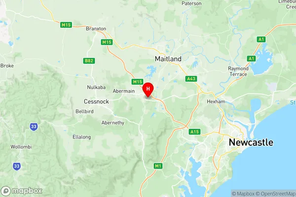
Kurri Kurri Abermain Suburbs & Region, Kurri Kurri Abermain Map & Postcodes
Kurri Kurri Abermain Suburbs & Region, Kurri Kurri Abermain Map & Postcodes in Kurri Kurri Abermain, Lower Hunter, Hunter Valley exc Newcastle, NSW, AU
Kurri Kurri Abermain Region
Region Name
Kurri Kurri Abermain (NSW, AU)Kurri Kurri Abermain Area
90.61 square kilometers (90.61 ㎢)Postal Codes
2321, 2326, and 2327 (In total, there are 3 postcodes in Kurri Kurri Abermain.)Kurri Kurri Abermain Introduction
Kurri Kurri Abermain is a town in the Hunter Region of New South Wales, Australia. It is located about 150 kilometers (93 mi) north of Sydney and 25 kilometers (16 mi) south of Newcastle. The town is situated on the banks of the Hunter River and is known for its coal mining and industrial heritage. The population of Kurri Kurri Abermain was 3,396 at the 2016 census. The town was founded in 1883 as a coal mining town and was named after the nearby Kurri Kurri mine. The mine was one of the largest in the world and played a significant role in the development of the region's economy. Today, the town is home to a number of industrial and manufacturing businesses, as well as a coal-fired power station. Kurri Kurri Abermain is also a popular tourist destination, with visitors coming to explore the town's historic buildings and museums, including the Kurri Kurri Miners' Club, which is the oldest miners' club in Australia. The town also hosts a number of events and festivals throughout the year, including the Kurri Kurri Country Music Festival and the Kurri Kurri Show. The town has a number of parks and recreational facilities, including a swimming pool, a golf course, and a cricket ground. The Hunter Riverwalk is a popular walking and cycling path that runs throughAustralia State
City or Big Region
Greater Capital City
Rest of NSW (1RNSW)District or Regional Area
Suburb Name
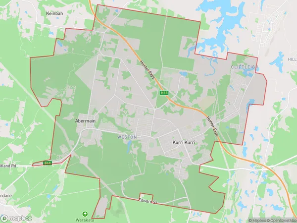
Kurri Kurri Abermain Region Map

Kurri Kurri Abermain Postcodes / Zip Codes
Kurri Kurri Abermain Suburbs
Kurri Kurri Abermain full address
Kurri Kurri Abermain, Lower Hunter, Hunter Valley exc Newcastle, New South Wales, NSW, Australia, SaCode: 106011111Country
Kurri Kurri Abermain, Lower Hunter, Hunter Valley exc Newcastle, New South Wales, NSW, Australia, SaCode: 106011111
Kurri Kurri Abermain Suburbs & Region, Kurri Kurri Abermain Map & Postcodes has 0 areas or regions above, and there are 10 Kurri Kurri Abermain suburbs below. The sa2code for the Kurri Kurri Abermain region is 106011111. Its latitude and longitude coordinates are -32.8247,151.495. Kurri Kurri Abermain area belongs to Australia's greater capital city Rest of NSW.
Kurri Kurri Abermain Suburbs & Localities
1. Cliftleigh
2. Sawyers Gully
3. Heddon Greta
4. Weston
5. Abermain
6. Loxford
7. Neath
8. Kurri Kurri
9. Pelaw Main
10. Stanford Merthyr
