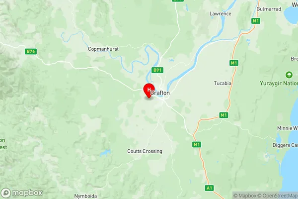
Grafton Suburbs & Region, Grafton Map & Postcodes
Grafton Suburbs & Region, Grafton Map & Postcodes in Grafton, Inverell Tenterfield, New England and North West, NSW, AU
Grafton Region
Region Name
Grafton (NSW, AU)Grafton Area
106.25 square kilometers (106.25 ㎢)Postal Codes
2460 (In total, there are 1 postcodes in Grafton.)Grafton Introduction
Grafton is a city in the Clarence Valley region of New South Wales, Australia. It is situated on the banks of the Clarence River and is approximately 350 kilometers north of Sydney. The city has a population of around 20,000 people and is known for its historic architecture, including the Grafton Bridge, which is one of the oldest bridges in Australia. The area around Grafton is also famous for its wine production, with many vineyards and wineries located in the surrounding region. The city is home to the Grafton Show, which is one of the largest country shows in Australia and attracts thousands of visitors each year.Australia State
City or Big Region
Greater Capital City
Rest of NSW (1RNSW)District or Regional Area
Suburb Name
Grafton Region Map

Grafton Postcodes / Zip Codes
Grafton Suburbs
Grafton full address
Grafton, Inverell Tenterfield, New England and North West, New South Wales, NSW, Australia, SaCode: 104011080Country
Grafton, Inverell Tenterfield, New England and North West, New South Wales, NSW, Australia, SaCode: 104011080
Grafton Suburbs & Region, Grafton Map & Postcodes has 0 areas or regions above, and there are 15 Grafton suburbs below. The sa2code for the Grafton region is 104011080. Its latitude and longitude coordinates are -29.7072,152.903. Grafton area belongs to Australia's greater capital city Rest of NSW.
Grafton Suburbs & Localities
1. Alumy Creek
2. Crowther Island
3. Junction Hill
4. South Grafton
5. Carrs Island
6. Grafton
7. Southampton
8. Carrs Creek
9. Grafton West
10. Trenayr
11. Waterview
12. Carrs Peninsula
13. Carrs Peninsular
14. Great Marlow
15. Koolkhan
