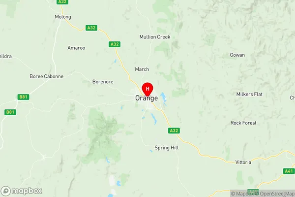
Orange Suburbs & Region, Orange Map & Postcodes
Orange Suburbs & Region, Orange Map & Postcodes in Orange, Central West, NSW, AU
Orange Region
Region Name
Orange (NSW, AU)Orange Area
45.25 square kilometers (45.25 ㎢)Orange Introduction
Orange is a city in the Central West region of New South Wales, Australia. It is located in the Macquarie Valley and is the administrative center of the Orange Local Government Area. The city has a population of around 40,000 people and is known for its vibrant cultural scene, including the Orange Regional Gallery and the Orange Shakespeare Festival. It is also home to a number of major industries, including agriculture, manufacturing, and tourism. The city is surrounded by beautiful countryside, including the Blue Mountains and the Werong Forest, and is a popular destination for outdoor activities such as hiking, cycling, and fishing.Australia State
City or Big Region
Greater Capital City
Rest of NSW (1RNSW)District or Regional Area
Suburb Name
Orange Region Map

Orange Suburbs
Orange full address
Orange, Central West, New South Wales, NSW, Australia, SaCode: 103041077Country
Orange, Central West, New South Wales, NSW, Australia, SaCode: 103041077
Orange Suburbs & Region, Orange Map & Postcodes has 0 areas or regions above, and there are 0 Orange suburbs below. The sa2code for the Orange region is 103041077. Its latitude and longitude coordinates are -33.2833,149.1. Orange area belongs to Australia's greater capital city Rest of NSW.
