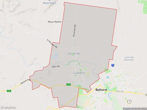
Bathurst West Suburbs & Region, Bathurst West Map & Postcodes
Bathurst West Suburbs & Region, Bathurst West Map & Postcodes in Bathurst West, Bathurst, Central West, NSW, AU
Bathurst West Region
Region Name
Bathurst West (NSW, AU)Bathurst West Area
82.03 square kilometers (82.03 ㎢)Bathurst West Introduction
Bathurst West is a locality in the Central West region of New South Wales, Australia. It is located in the Bathurst Shire local government area and is situated on the Macquarie River. The town is known for its historic gold mining and is a popular tourist destination. It is home to the Bathurst Regional Council and has a population of around 3,000 people. The town has a variety of attractions, including the Bathurst Gold Mine Museum, the Mount Panorama Circuit, and the Blue Mountains National Park.Australia State
City or Big Region
Greater Capital City
Rest of NSW (1RNSW)District or Regional Area
Suburb Name
Bathurst West Suburbs
Bathurst West full address
Bathurst West, Bathurst, Central West, New South Wales, NSW, Australia, SaCode: 103011613Country
Bathurst West, Bathurst, Central West, New South Wales, NSW, Australia, SaCode: 103011613
Bathurst West Suburbs & Region, Bathurst West Map & Postcodes has 0 areas or regions above, and there are 0 Bathurst West suburbs below. The sa2code for the Bathurst West region is 103011613. Bathurst West area belongs to Australia's greater capital city Rest of NSW.
