Gorokan Kanwal Charmhaven Suburbs & Region, Gorokan Kanwal Charmhaven Map & Postcodes
Gorokan Kanwal Charmhaven Suburbs & Region, Gorokan Kanwal Charmhaven Map & Postcodes in Gorokan Kanwal Charmhaven, Wyong, Central Coast, NSW, AU
Gorokan Kanwal Charmhaven Region
Region Name
Gorokan Kanwal Charmhaven (NSW, AU)Gorokan Kanwal Charmhaven Area
11.25 square kilometers (11.25 ㎢)Postal Codes
2259, and 2263 (In total, there are 2 postcodes in Gorokan Kanwal Charmhaven.)Gorokan Kanwal Charmhaven Introduction
Gorokan Kanwal Charmhaven is a suburb located on the Central Coast of New South Wales, Australia. It is situated in the local government area of the City of Gosford and is part of the Greater Sydney region. The suburb is named after the Gorokan people, who are the traditional owners of the land. Gorokan Kanwal Charmhaven is a relatively new suburb, with most of the development occurring in the late 20th and early 21st centuries. The suburb is known for its modern infrastructure, including a shopping center, a medical center, and a variety of parks and recreational facilities. It is also home to a number of schools, including a primary school, a high school, and a college. The suburb is located in a scenic location, with the Pacific Ocean to the east and the Budderoo National Park to the west. It is surrounded by a number of natural attractions, including the Bouddi National Park, the Werong National Park, and the Mangrove Mountain Conservation Area. Gorokan Kanwal Charmhaven is a popular suburb for families and professionals, with a mix of detached houses, townhouses, and apartments. The suburb has a strong sense of community, with a number of local events and festivals held throughout the year. It is also a convenient location for commuters, with easy access to the Sydney CBD and the Central Coast region.Australia State
City or Big Region
Greater Capital City
Greater Sydney (1GSYD)District or Regional Area
Suburb Name
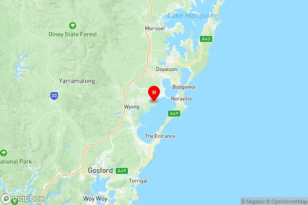
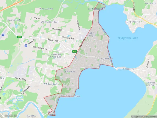
Gorokan Kanwal Charmhaven Region Map

Gorokan Kanwal Charmhaven Postcodes / Zip Codes
Gorokan Kanwal Charmhaven Suburbs
Gorokan Kanwal Charmhaven full address
Gorokan Kanwal Charmhaven, Wyong, Central Coast, New South Wales, NSW, Australia, SaCode: 102021048Country
Gorokan Kanwal Charmhaven, Wyong, Central Coast, New South Wales, NSW, Australia, SaCode: 102021048
Gorokan Kanwal Charmhaven Suburbs & Region, Gorokan Kanwal Charmhaven Map & Postcodes has 0 areas or regions above, and there are 6 Gorokan Kanwal Charmhaven suburbs below. The sa2code for the Gorokan Kanwal Charmhaven region is 102021048. Its latitude and longitude coordinates are -33.273,151.485. Gorokan Kanwal Charmhaven area belongs to Australia's greater capital city Greater Sydney.
Gorokan Kanwal Charmhaven Suburbs & Localities
2. Wyongah
3. Tuggerawong
4. Rocky Point
5. Gorokan
6. Lake Haven
