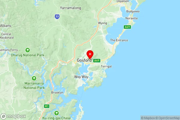
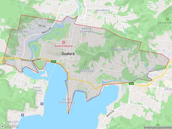
Gosford Springfield Suburbs & Region, Gosford Springfield Map & Postcodes
Gosford Springfield Suburbs & Region, Gosford Springfield Map & Postcodes in Gosford Springfield, Hawkesbury, Sydney Baulkham Hills and Hawkesbury, NSW, AU
Gosford Springfield Region
Region Name
Gosford Springfield (NSW, AU)Gosford Springfield Area
16.91 square kilometers (16.91 ㎢)Postal Codes
2250 (In total, there are 1 postcodes in Gosford Springfield.)Gosford Springfield Introduction
Gosford Springfield, Sydney Baulkham Hills and Hawkesbury is a suburb in the local government area of the City of Hawkesbury, New South Wales, Australia. It is located 48 kilometers (30 mi) northwest of Sydney's central business district and is part of the Greater Western Sydney region. The suburb is named after the Gosford railway station, which was opened on 1 October 1886. The suburb is primarily residential, with a mix of single-family homes, townhouses and apartments. It has a number of parks and recreational facilities, including the Gosford Regional Park, which covers over 1,000 hectares (2,500 acres) and features walking trails, picnic areas and a lake. The suburb also has a shopping center, a medical center and a number of schools. Gosford Springfield is located in the Hawkesbury River catchment area and is home to a number of important ecological sites, including the Wollemi National Park and the Mount Werong Nature Reserve. The area is also known for its agricultural industry, with a number of farms and wineries located in the surrounding area. In terms of transport, Gosford Springfield is well-connected, with the M4 motorway providing access to Sydney and the Central Coast. The suburb also has a train station, which is served by the Central Coast Line and the North Shore Line.Australia State
City or Big Region
Greater Capital City
Greater Sydney (1GSYD)District or Regional Area
Suburb Name
Gosford Springfield Region Map

Gosford Springfield Postcodes / Zip Codes
Gosford Springfield Suburbs
Gosford Springfield full address
Gosford Springfield, Hawkesbury, Sydney Baulkham Hills and Hawkesbury, New South Wales, NSW, Australia, SaCode: 102011032Country
Gosford Springfield, Hawkesbury, Sydney Baulkham Hills and Hawkesbury, New South Wales, NSW, Australia, SaCode: 102011032
Gosford Springfield Suburbs & Region, Gosford Springfield Map & Postcodes has 0 areas or regions above, and there are 6 Gosford Springfield suburbs below. The sa2code for the Gosford Springfield region is 102011032. Its latitude and longitude coordinates are -33.424,151.368. Gosford Springfield area belongs to Australia's greater capital city Greater Sydney.
Gosford Springfield Suburbs & Localities
1. West Gosford
2. East Gosford
3. Gosford
4. Springfield
5. Gosford West
6. North Gosford
