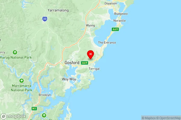
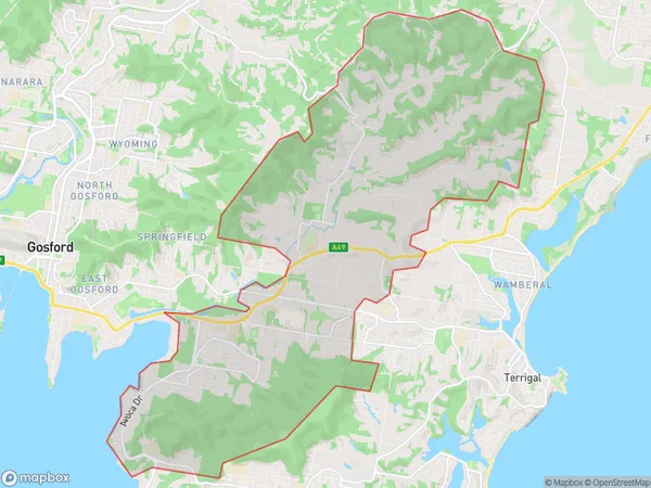
Erina Green Point Suburbs & Region, Erina Green Point Map & Postcodes
Erina Green Point Suburbs & Region, Erina Green Point Map & Postcodes in Erina Green Point, Wyong, Central Coast, NSW, AU
Erina Green Point Region
Region Name
Erina Green Point (NSW, AU)Erina Green Point Area
33.79 square kilometers (33.79 ㎢)Postal Codes
2250, 2251, and 2260 (In total, there are 3 postcodes in Erina Green Point.)Erina Green Point Introduction
Erina Green Point is a suburb on the Central Coast of New South Wales, Australia. It is located between the cities of Gosford and Wyong and is part of the Central Coast Council. The suburb is named after the green point of Erina Lagoon, which is a popular spot for fishing and swimming. Erina Green Point has a variety of housing options, including apartments, townhouses, and detached homes. The suburb is well-serviced by public transport, with buses and trains running regularly to nearby areas. There are also several shopping centers, including Erina Fair and Westfield Kotara. The suburb is known for its peaceful atmosphere and natural beauty, with many parks and walking trails nearby.Australia State
City or Big Region
Greater Capital City
Greater Sydney (1GSYD)District or Regional Area
Suburb Name
Erina Green Point Region Map

Erina Green Point Postcodes / Zip Codes
Erina Green Point Suburbs
Erina Green Point full address
Erina Green Point, Wyong, Central Coast, New South Wales, NSW, Australia, SaCode: 102011031Country
Erina Green Point, Wyong, Central Coast, New South Wales, NSW, Australia, SaCode: 102011031
Erina Green Point Suburbs & Region, Erina Green Point Map & Postcodes has 0 areas or regions above, and there are 6 Erina Green Point suburbs below. The sa2code for the Erina Green Point region is 102011031. Its latitude and longitude coordinates are -33.415,151.426. Erina Green Point area belongs to Australia's greater capital city Greater Sydney.
Erina Green Point Suburbs & Localities
1. Erina
2. Matcham
3. Green Point
4. Erina Fair
5. Holgate
6. Erina Heights
