Bentley Area, Bentley Postcode(2480) & Map in Bentley, Richmond - Tweed, NSW
Bentley Area, Bentley Postcode(2480) & Map in Bentley, Richmond - Tweed, NSW, AU, Postcode: 2480
Bentley, Lismore Region, Richmond Valley - Hinterland, Richmond - Tweed, New South Wales, Australia, 2480
Bentley Postcode
Area Name
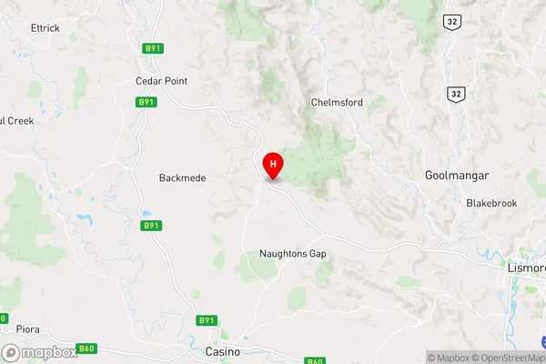
BentleyBentley Suburb Area Map (Polygon)

Bentley Introduction
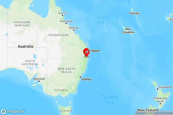
Bentley is a suburb in the City of Richmond-Tweed in New South Wales, Australia. It is located 59 kilometers north of the state capital, Sydney. The suburb is named after the Bentley motor company. Bentley is a popular residential area with a mix of modern homes and historic properties. It has a local shopping center, a primary school, and a community hall. The area is known for its beautiful parks and gardens, including the Richmond River National Park and the Tweed River National Park.State Name
City or Big Region
District or Regional Area
Suburb Name
Bentley Region Map
Country
Main Region in AU
R3Coordinates
-28.7510243,153.086146 (latitude/longitude)Bentley Area Map (Street)
Longitude
153.25943Latitude
-28.706486Bentley Elevation
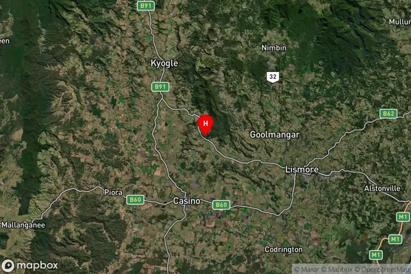
about 17.78 meters height above sea level (Altitude)Bentley Suburb Map (Satellite)
Distances
The distance from Bentley, Richmond - Tweed, NSW to AU Greater Capital CitiesSA1 Code 2011
11202124941SA1 Code 2016
11202124941SA2 Code
112021249SA3 Code
11202SA4 Code
112RA 2011
2RA 2016
2MMM 2015
3MMM 2019
3Charge Zone
N2LGA Region
LismoreLGA Code
14850Electorate
Richmond