Boya Area, Boya Postcode(6056) & Map in Boya, Perth - North East, WA
Boya Area, Boya Postcode(6056) & Map in Boya, Perth - North East, WA, AU, Postcode: 6056
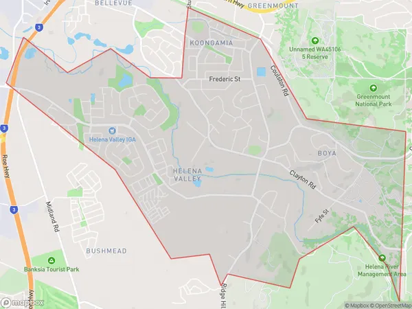
Boya, Helena Valley - Koongamia, Mundaring, Perth - North East, Western Australia, Australia, 6056
Boya Postcode
Area Name
BoyaBoya Suburb Area Map (Polygon)
Boya Introduction
Boya is a suburb of Perth, Western Australia, located in the City of Swan. It is known for its natural beauty, including the Boya Brook and the Boya Reservoir. The suburb has a population of approximately 10,000 people and is home to a variety of amenities, including a shopping center, schools, and parks.State Name
City or Big Region
District or Regional Area
Suburb Name
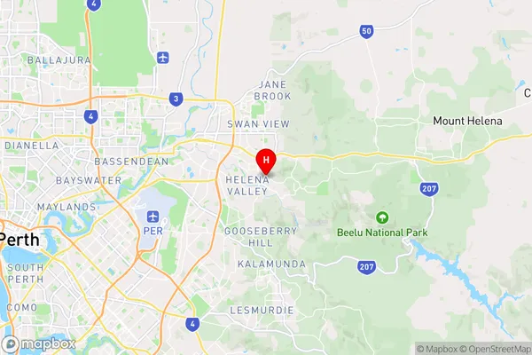
Boya Region Map

Country
Main Region in AU
R2Coordinates
-31.915078,116.0532403 (latitude/longitude)Boya Area Map (Street)
Longitude
116.0261Latitude
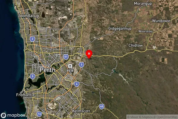
-31.838398Boya Suburb Map (Satellite)
Distances
The distance from Boya, Perth - North East, WA to AU Greater Capital CitiesSA1 Code 2011
50402105107SA1 Code 2016
50402105107SA2 Code
504021051SA3 Code
50402SA4 Code
504RA 2011
1RA 2016
1MMM 2015
1MMM 2019
1Charge Zone
W1LGA Region
BassendeanLGA Code
50350Electorate
Pearce