Mount Whitestone Area, Mount Whitestone Postcode(4347) & Map in Mount Whitestone, Toowoomba, QLD
Mount Whitestone Area, Mount Whitestone Postcode(4347) & Map in Mount Whitestone, Toowoomba, QLD, AU, Postcode: 4347
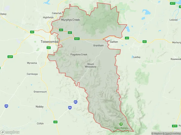
Mount Whitestone, Lockyer Valley - West, Toowoomba, Toowoomba, Queensland, Australia, 4347
Mount Whitestone Postcode
Area Name
Mount WhitestoneMount Whitestone Suburb Area Map (Polygon)
Mount Whitestone Introduction
Mount Whitestone is a mountain located in Toowoomba, Queensland, Australia. It is part of the Great Dividing Range and has an elevation of 1,215 meters. The mountain is known for its scenic views and is a popular destination for hiking and camping.State Name
City or Big Region
District or Regional Area
Suburb Name
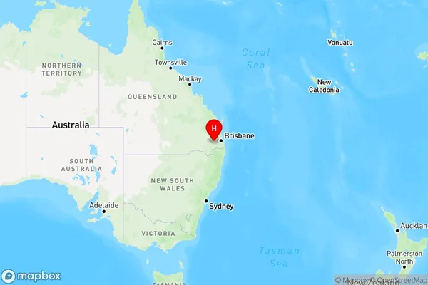
Mount Whitestone Region Map
Country
Main Region in AU
R3Coordinates
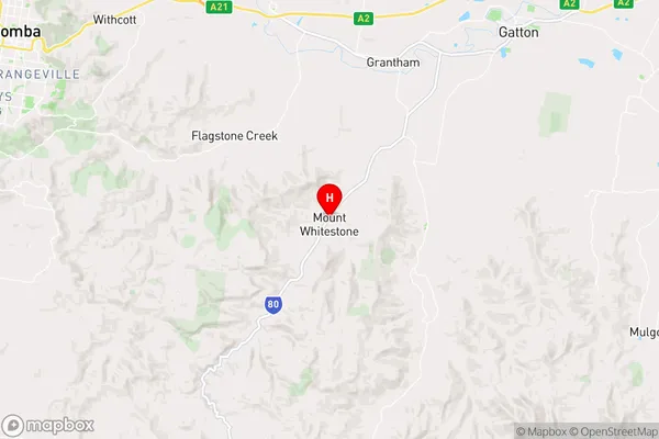
-27.6654131,152.1609424 (latitude/longitude)Mount Whitestone Area Map (Street)
Longitude
152.142704Latitude
-27.655062Mount Whitestone Elevation
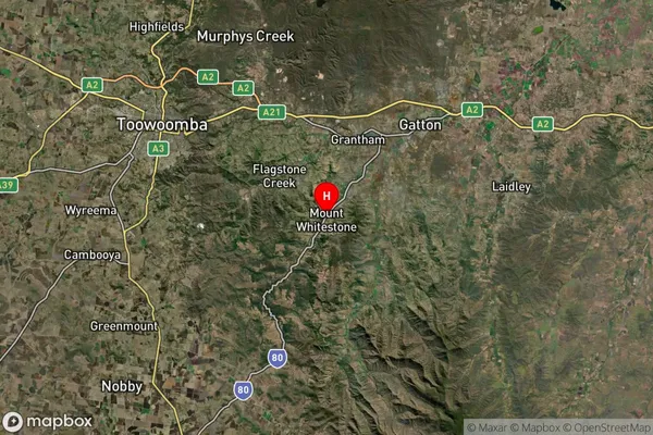
about 287.42 meters height above sea level (Altitude)Mount Whitestone Suburb Map (Satellite)
Distances
The distance from Mount Whitestone, Toowoomba, QLD to AU Greater Capital CitiesSA1 Code 2011
31701145129SA1 Code 2016
31701145129SA2 Code
317011451SA3 Code
31701SA4 Code
317RA 2011
2RA 2016
2MMM 2015
5MMM 2019
5Charge Zone
Q2LGA Region
Lockyer ValleyLGA Code
34580Electorate
Wright