Rossvale Area, Rossvale Postcode(4356) & Map in Rossvale, Darling Downs - Maranoa, QLD
Rossvale Area, Rossvale Postcode(4356) & Map in Rossvale, Darling Downs - Maranoa, QLD, AU, Postcode: 4356
Rossvale, Pittsworth, Darling Downs - East, Darling Downs - Maranoa, Queensland, Australia, 4356
Rossvale Postcode
Area Name
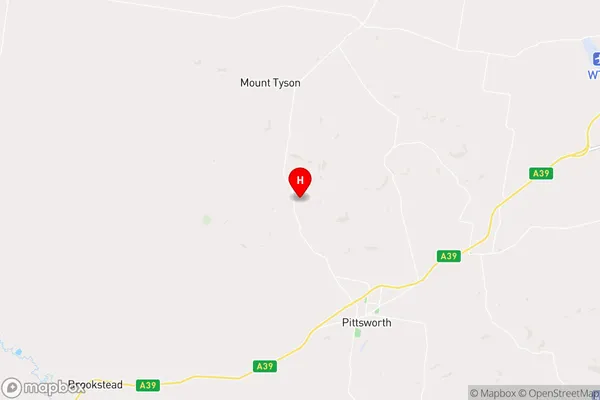
RossvaleRossvale Suburb Area Map (Polygon)

Rossvale Introduction
Rossvale is a town in the Maranoa Region of Queensland, Australia. It is located 32 km north-west of Roma and 72 km south-east of Charleville. The town is named after the Ross River, which flows through the area. Rossvale has a population of approximately 1,000 people and is a farming community. The town has a number of amenities, including a school, a hospital, a library, and a golf course.State Name
City or Big Region
District or Regional Area
Suburb Name
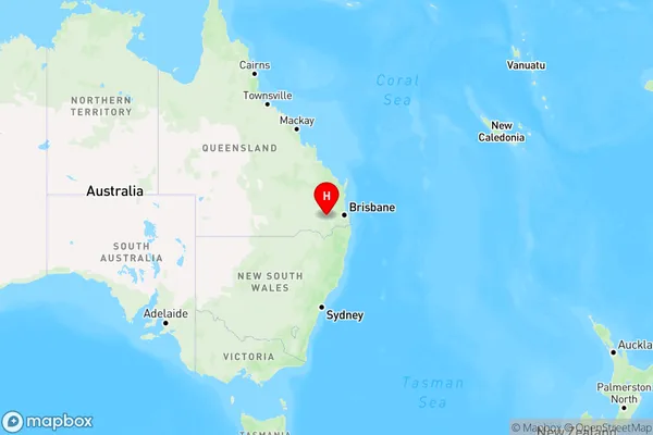
Rossvale Region Map
Country
Main Region in AU
R3Coordinates
-27.6453936,151.5887425 (latitude/longitude)Rossvale Area Map (Street)
Longitude
151.550271Latitude
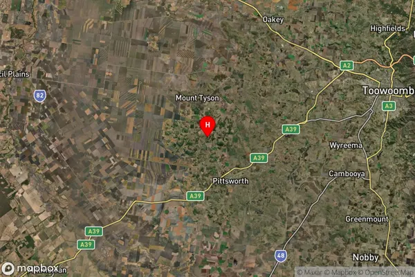
-27.663074Rossvale Suburb Map (Satellite)
Distances
The distance from Rossvale, Darling Downs - Maranoa, QLD to AU Greater Capital CitiesSA1 Code 2011
30702118207SA1 Code 2016
30702118207SA2 Code
307021182SA3 Code
30702SA4 Code
307RA 2011
2RA 2016
2MMM 2015
5MMM 2019
5Charge Zone
Q2LGA Region
ToowoombaLGA Code
36910Electorate
Groom