St Johns Wood Area, St Johns Wood Postcode(4060) & Map in St Johns Wood, Brisbane Inner City, QLD
St Johns Wood Area, St Johns Wood Postcode(4060) & Map in St Johns Wood, Brisbane Inner City, QLD, AU, Postcode: 4060
St Johns Wood, Ashgrove, Brisbane Inner - West, Brisbane Inner City, Queensland, Australia, 4060
St Johns Wood Postcode
Area Name
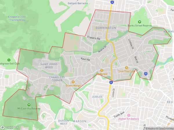
St Johns WoodSt Johns Wood Suburb Area Map (Polygon)

St Johns Wood Introduction
St Johns Wood is a suburb in the inner city of Brisbane, Queensland, Australia. It is known for its leafy streets, historic homes, and vibrant cultural scene. The suburb is home to a number of parks and recreational facilities, including the St Johns Wood Golf Club and the St Johns Wood Park. It is also home to a number of popular restaurants and cafes, including the popular Mr. Whippy ice cream shop.State Name
City or Big Region
District or Regional Area
Suburb Name
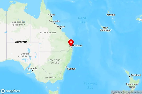
St Johns Wood Region Map

Country
Main Region in AU
R1Coordinates
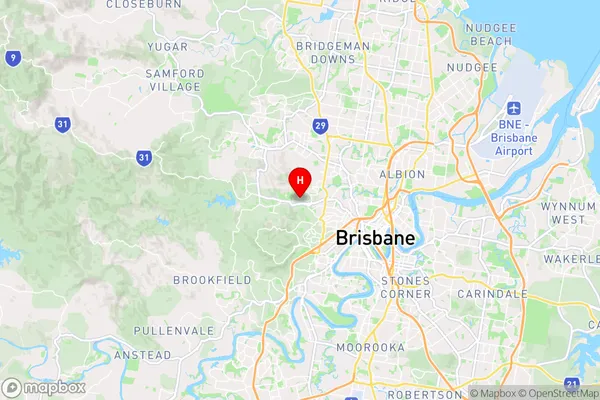
-27.4459,152.972 (latitude/longitude)St Johns Wood Area Map (Street)

Longitude
152.985176Latitude
-27.445107St Johns Wood Elevation
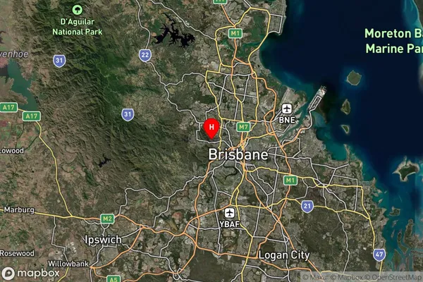
about -3492.00 meters height above sea level (Altitude)St Johns Wood Suburb Map (Satellite)

Distances
The distance from St Johns Wood, Brisbane Inner City, QLD to AU Greater Capital CitiesSA1 Code 2011
30504113201SA1 Code 2016
30504113201SA2 Code
305041132SA3 Code
30504SA4 Code
305RA 2011
1RA 2016
1MMM 2015
1MMM 2019
1Charge Zone
Q1LGA Region
BrisbaneLGA Code
31000Electorate
Ryan