Tangalooma Area, Tangalooma Postcode(4025) & Map in Tangalooma, Moreton Bay - North, QLD
Tangalooma Area, Tangalooma Postcode(4025) & Map in Tangalooma, Moreton Bay - North, QLD, AU, Postcode: 4025
Tangalooma, Scarborough - Newport - Moreton Island, Redcliffe, Moreton Bay - North, Queensland, Australia, 4025
Tangalooma Postcode
Area Name
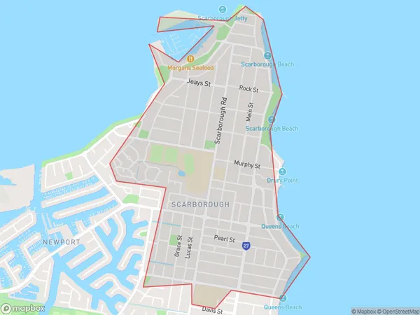
TangaloomaTangalooma Suburb Area Map (Polygon)

Tangalooma Introduction
Tangalooma is a popular resort on Moreton Island in Queensland, Australia, offering a range of activities such as snorkeling, dolphin watching, and jet skiing. It is also known for its beautiful beaches and coral reefs, making it a popular destination for tourists and locals alike.State Name
City or Big Region
District or Regional Area
Suburb Name
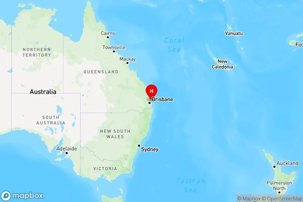
Tangalooma Region Map

Country
Main Region in AU
R2Coordinates
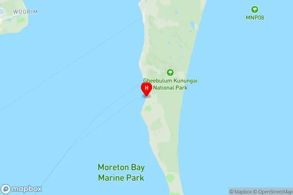
-27.178901,153.3730896 (latitude/longitude)Tangalooma Area Map (Street)

Longitude
153.393497Latitude
-27.162277Tangalooma Elevation
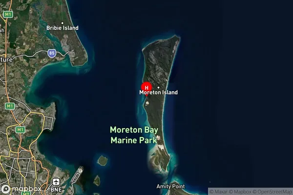
about 90.52 meters height above sea level (Altitude)Tangalooma Suburb Map (Satellite)

Distances
The distance from Tangalooma, Moreton Bay - North, QLD to AU Greater Capital CitiesSA1 Code 2011
30102101013SA1 Code 2016
31305154225SA2 Code
313051542SA3 Code
31305SA4 Code
313RA 2011
4RA 2016
4MMM 2015
6MMM 2019
7Charge Zone
Q1LGA Region
RedlandLGA Code
36250Electorate
Bonner