Cape Moreton Area, Cape Moreton Postcode(4025) & Map in Cape Moreton, Moreton Bay - North, QLD
Cape Moreton Area, Cape Moreton Postcode(4025) & Map in Cape Moreton, Moreton Bay - North, QLD, AU, Postcode: 4025
Cape Moreton, Scarborough - Newport - Moreton Island, Redcliffe, Moreton Bay - North, Queensland, Australia, 4025
Cape Moreton Postcode
Area Name
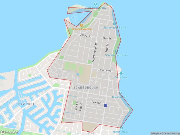
Cape MoretonCape Moreton Suburb Area Map (Polygon)

Cape Moreton Introduction
Cape Moreton is a headland on the southern side of Moreton Bay in Queensland, Australia. It is part of the Redcliffe Peninsula and is located about 28 kilometers southeast of Brisbane. The cape is named after Thomas Moreton, who was a British navigator and explorer who sailed through the area in 1799. The cape is a popular destination for tourists and is known for its stunning beaches, clear waters, and diverse marine life. It is also home to a number of national parks and nature reserves, including the Cape Moreton National Park and the Moreton Bay Marine Park.State Name
City or Big Region
District or Regional Area
Suburb Name
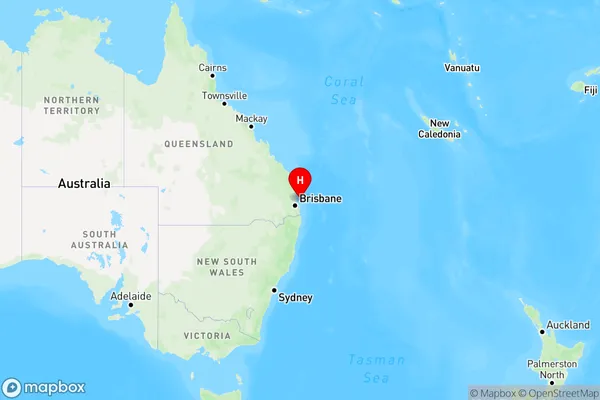
Cape Moreton Region Map

Country
Main Region in AU
R2Coordinates
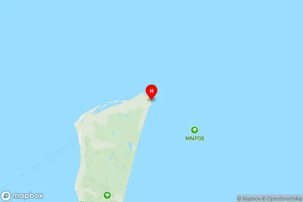
-27.0333333,153.4666667 (latitude/longitude)Cape Moreton Area Map (Street)

Longitude
153.393497Latitude
-27.162277Cape Moreton Elevation
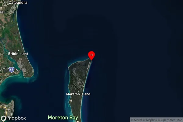
about 90.52 meters height above sea level (Altitude)Cape Moreton Suburb Map (Satellite)

Distances
The distance from Cape Moreton, Moreton Bay - North, QLD to AU Greater Capital CitiesSA1 Code 2011
30102101013SA1 Code 2016
31305154225SA2 Code
313051542SA3 Code
31305SA4 Code
313RA 2011
4RA 2016
4MMM 2015
6MMM 2019
7Charge Zone
Q1LGA Region
RedlandLGA Code
36250Electorate
Bonner