Clontarf Area, Clontarf Postcode(4019) & Map in Clontarf, Moreton Bay - North, QLD
Clontarf Area, Clontarf Postcode(4019) & Map in Clontarf, Moreton Bay - North, QLD, AU, Postcode: 4019
Clontarf, Clontarf, Redcliffe, Moreton Bay - North, Queensland, Australia, 4019
Clontarf Postcode
Area Name
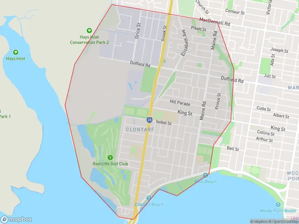
ClontarfClontarf Suburb Area Map (Polygon)
Clontarf Introduction
Clontarf is a suburb in the City of Moreton Bay, Queensland, Australia. It is located 8 kilometers north of Brisbane's central business district and is part of the Greater Brisbane region. The suburb has a population of around 11,000 people and is known for its beautiful beaches, parks, and recreational facilities. Clontarf is also home to a number of historic buildings, including the Clontarf Baths and the Clontarf Hotel.State Name
City or Big Region
District or Regional Area
Suburb Name
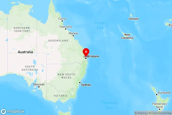
Clontarf Region Map
Country
Main Region in AU
R2Coordinates
-27.2463,153.0827 (latitude/longitude)Clontarf Area Map (Street)

Longitude
153.088498Latitude
-27.248337Clontarf Elevation
about 13.97 meters height above sea level (Altitude)Clontarf Suburb Map (Satellite)

Distances
The distance from Clontarf, Moreton Bay - North, QLD to AU Greater Capital CitiesSA1 Code 2011
31305137701SA1 Code 2016
31305137701SA2 Code
313051377SA3 Code
31305SA4 Code
313RA 2011
1RA 2016
1MMM 2015
1MMM 2019
1Charge Zone
Q1LGA Region
BrisbaneLGA Code
31000Electorate
Petrie