Brighton Area, Brighton Postcode(4017) & Map in Brighton, Brisbane - North, QLD
Brighton Area, Brighton Postcode(4017) & Map in Brighton, Brisbane - North, QLD, AU, Postcode: 4017
Brighton, Brighton (Qld), Sandgate, Brisbane - North, Queensland, Australia, 4017
Brighton Postcode
Area Name
BrightonBrighton Suburb Area Map (Polygon)

Brighton Introduction
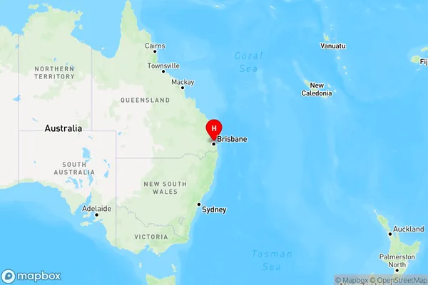
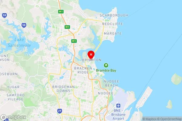
Brighton is a suburb in Brisbane, North, QLD, AU. It is located 7 kilometers from the Brisbane CBD. The suburb has a population of 15,134 people. The postcode for Brighton is 4017. Brighton is known for its beautiful beaches, parks, and recreational facilities. It is also home to several schools, including Brighton State School and St. Joseph's College.State Name
City or Big Region
District or Regional Area
Suburb Name
Brighton Region Map

Country
Main Region in AU
R1Coordinates
-27.299,153.057 (latitude/longitude)Brighton Area Map (Street)

Longitude
153.047339Latitude
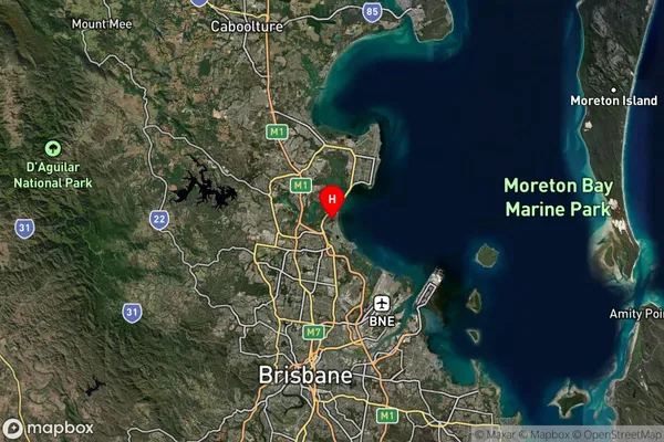
-27.318074Brighton Suburb Map (Satellite)

Distances
The distance from Brighton, Brisbane - North, QLD to AU Greater Capital CitiesSA1 Code 2011
30204104211SA1 Code 2016
30204104211SA2 Code
302041042SA3 Code
30204SA4 Code
302RA 2011
1RA 2016
1MMM 2015
1MMM 2019
1Charge Zone
Q1LGA Region
BrisbaneLGA Code
31000Electorate
Petrie