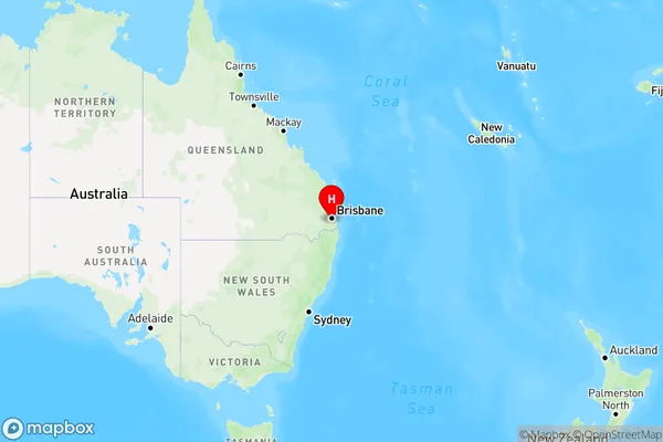
Forestdale Area, Forestdale Postcode(4118) & Map in Forestdale, Logan - Beaudesert, QLD
Forestdale Area, Forestdale Postcode(4118) & Map in Forestdale, Logan - Beaudesert, QLD, AU, Postcode: 4118
Forestdale, Hillcrest, Browns Plains, Logan - Beaudesert, Queensland, Australia, 4118
Forestdale Postcode
Area Name
ForestdaleForestdale Suburb Area Map (Polygon)

Forestdale Introduction
Forestdale is a locality in the Logan City Region, Queensland, Australia. It is part of the Beaudesert Shire. At the 2011 Australian census, Forestdale had a population of 5,515 people. Forestdale is a planned community that was established in the 1980s. It is located on the southern side of the Logan River, approximately 25 kilometers south of the Brisbane CBD. The suburb is known for its spacious homes, leafy streets, and well-maintained parks and recreational facilities. The suburb has a variety of shops and services, including a supermarket, medical center, and several cafes and restaurants. Forestdale also has a community center and a swimming pool. The area is popular with families and retirees and is surrounded by beautiful bushland and scenic views.State Name
City or Big Region
District or Regional Area
Suburb Name
Forestdale Region Map

Country
Main Region in AU
R1Coordinates
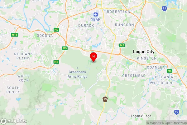
-27.663611,153.0025 (latitude/longitude)Forestdale Area Map (Street)

Longitude
153.027323Latitude
-27.673806Forestdale Elevation
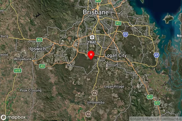
about 59.60 meters height above sea level (Altitude)Forestdale Suburb Map (Satellite)

Distances
The distance from Forestdale, Logan - Beaudesert, QLD to AU Greater Capital CitiesSA1 Code 2011
31103131618SA1 Code 2016
31103131618SA2 Code
311031316SA3 Code
31103SA4 Code
311RA 2011
1RA 2016
1MMM 2015
1MMM 2019
1Charge Zone
Q1LGA Region
LoganLGA Code
34590Electorate
Wright