Point Halloran Area, Point Halloran Postcode(4165) & Map in Point Halloran, Brisbane - East, QLD
Point Halloran Area, Point Halloran Postcode(4165) & Map in Point Halloran, Brisbane - East, QLD, AU, Postcode: 4165
Point Halloran, Victoria Point, Cleveland - Stradbroke, Brisbane - East, Queensland, Australia, 4165
Point Halloran Postcode
Area Name
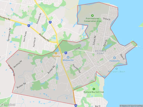
Point HalloranPoint Halloran Suburb Area Map (Polygon)

Point Halloran Introduction
Point Halloran is a coastal suburb in Brisbane, Queensland, Australia. It is located in the City of Brisbane, 10 kilometers southeast of the Brisbane CBD. The suburb is named after Sir John Halloran, who was a Queensland politician and judge. Point Halloran is a popular residential area with a mix of apartments, houses, and units. It has a beautiful beach, several parks, and a shopping center. The suburb is also home to several educational institutions, including a primary school, a high school, and a TAFE college.State Name
City or Big Region
District or Regional Area
Suburb Name
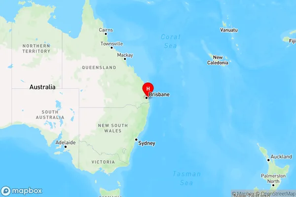
Point Halloran Region Map

Country
Main Region in AU
R1Coordinates
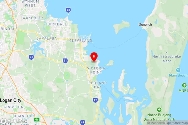
-27.5689,153.296 (latitude/longitude)Point Halloran Area Map (Street)

Longitude
153.263801Latitude
-27.623975Point Halloran Elevation
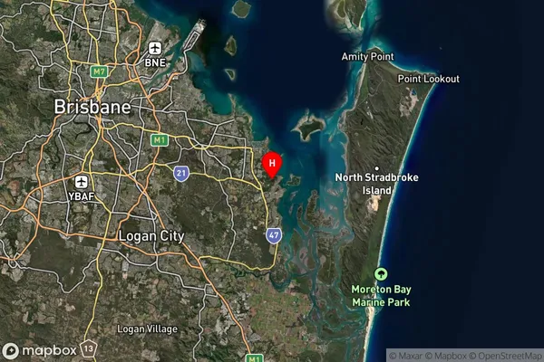
about 31.58 meters height above sea level (Altitude)Point Halloran Suburb Map (Satellite)

Distances
The distance from Point Halloran, Brisbane - East, QLD to AU Greater Capital CitiesSA1 Code 2011
30102101323SA1 Code 2016
30102101323SA2 Code
301021013SA3 Code
30102SA4 Code
301RA 2011
1RA 2016
1MMM 2015
1MMM 2019
1Charge Zone
Q1LGA Region
RedlandLGA Code
36250Electorate
Bowman