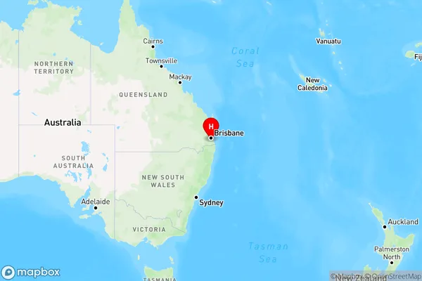
Munruben Area, Munruben Postcode(4125) & Map in Munruben, Logan - Beaudesert, QLD
Munruben Area, Munruben Postcode(4125) & Map in Munruben, Logan - Beaudesert, QLD, AU, Postcode: 4125
Munruben, Munruben - Park Ridge South, Browns Plains, Logan - Beaudesert, Queensland, Australia, 4125
Munruben Postcode
Area Name
MunrubenMunruben Suburb Area Map (Polygon)

Munruben Introduction
Munruben is a locality in the Logan City, Queensland, Australia. It is located in the southern part of the city, about 20 kilometers from the Brisbane CBD. The locality is named after the Munruben Creek, which flows through it. Munruben is a popular residential area with a variety of housing styles, including single-family homes, duplexes, and townhouses. It has a number of parks and recreational facilities, including a community center, a sports field, and a swimming pool. The area is also home to a number of businesses, including a supermarket, a pharmacy, and a variety of retail stores.State Name
City or Big Region
District or Regional Area
Suburb Name
Munruben Region Map

Country
Main Region in AU
R3Coordinates
-27.75,153.033333 (latitude/longitude)Munruben Area Map (Street)

Longitude
153.04108Latitude
-27.730432Munruben Elevation
about 44.01 meters height above sea level (Altitude)Munruben Suburb Map (Satellite)

Distances
The distance from Munruben, Logan - Beaudesert, QLD to AU Greater Capital CitiesSA1 Code 2011
31103131808SA1 Code 2016
31103131808SA2 Code
311031318SA3 Code
31103SA4 Code
311RA 2011
2RA 2016
1MMM 2015
2MMM 2019
1Charge Zone
Q1LGA Region
LoganLGA Code
34590Electorate
Wright