Rochedale South Area, Rochedale South Postcode(4123) & Map in Rochedale South, Logan - Beaudesert, QLD
Rochedale South Area, Rochedale South Postcode(4123) & Map in Rochedale South, Logan - Beaudesert, QLD, AU, Postcode: 4123
Rochedale South, Rochedale South - Priestdale, Springwood - Kingston, Logan - Beaudesert, Queensland, Australia, 4123
Rochedale South Postcode
Area Name
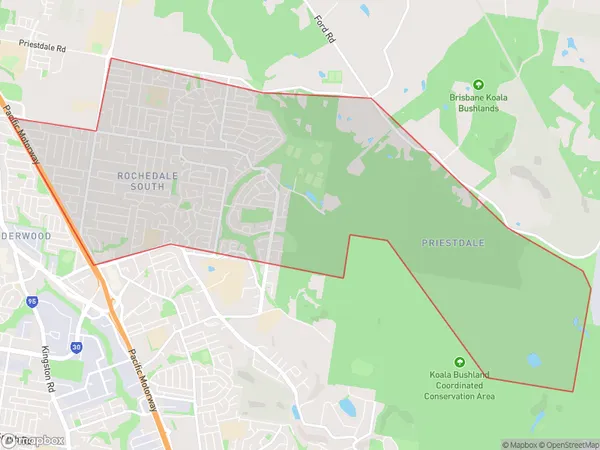
Rochedale SouthRochedale South Suburb Area Map (Polygon)

Rochedale South Introduction
Rochedale South is a suburb in the City of Logan, Queensland, Australia. It is located 11 kilometers south of the Logan City center and is part of the Logan Central Business District. The suburb has a population of around 5,000 people and is known for its large shopping center, Rochedale Plaza.State Name
City or Big Region
District or Regional Area
Suburb Name
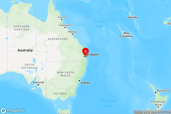
Rochedale South Region Map

Country
Main Region in AU
R1Coordinates
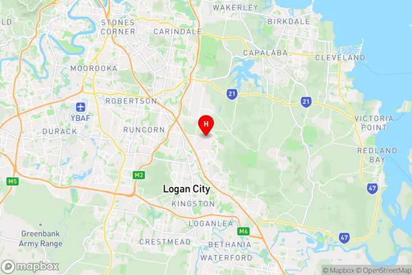
-27.5969738,153.1326618 (latitude/longitude)Rochedale South Area Map (Street)

Longitude
153.116151Latitude
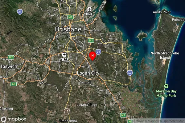
-27.583528Rochedale South Suburb Map (Satellite)

Distances
The distance from Rochedale South, Logan - Beaudesert, QLD to AU Greater Capital CitiesSA1 Code 2011
31106133229SA1 Code 2016
31106133229SA2 Code
311061332SA3 Code
31106SA4 Code
311RA 2011
1RA 2016
1MMM 2015
1MMM 2019
1Charge Zone
Q1LGA Region
BrisbaneLGA Code
31000Electorate
Rankin