Basalt Area, Basalt Postcode(3460) & Map in Basalt, Ballarat, VIC
Basalt Area, Basalt Postcode(3460) & Map in Basalt, Ballarat, VIC, AU, Postcode: 3460
Basalt, Daylesford, Creswick - Daylesford - Ballan, Ballarat, Victoria, Australia, 3460
Basalt Postcode
Area Name
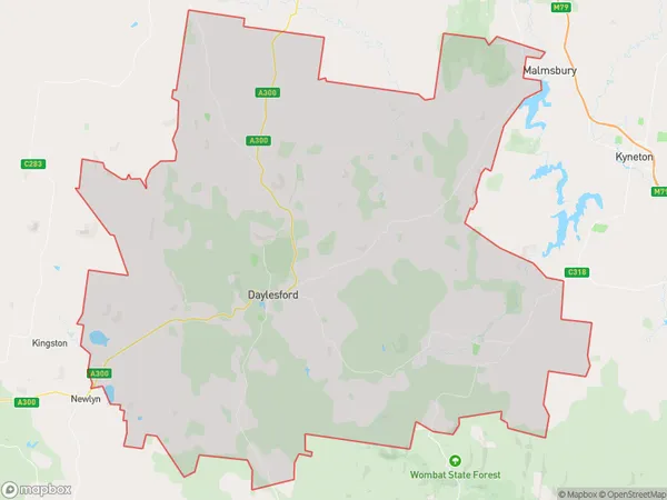
BasaltBasalt Suburb Area Map (Polygon)

Basalt Introduction
Basalt is a small town in central Victoria, Australia, located 105 kilometers north-west of Melbourne. It is known for its rich mining history and is home to the Basalt Rock Museum. The town has a population of around 2,000 people and is surrounded by beautiful natural scenery, including the Mount William Range and the Pyrenees Mountains.State Name
City or Big Region
District or Regional Area
Suburb Name
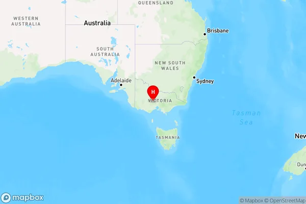
Basalt Region Map

Country
Main Region in AU
R3Coordinates
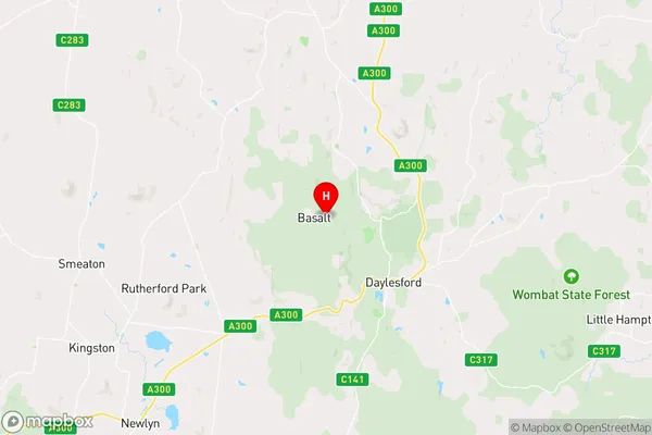
-37.3088919,144.1038619 (latitude/longitude)Basalt Area Map (Street)

Longitude
144.144216Latitude
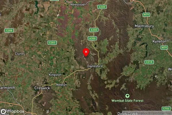
-37.351704Basalt Suburb Map (Satellite)

Distances
The distance from Basalt, Ballarat, VIC to AU Greater Capital CitiesSA1 Code 2011
20102101120SA1 Code 2016
20102101120SA2 Code
201021011SA3 Code
20102SA4 Code
201RA 2011
2RA 2016
2MMM 2015
5MMM 2019
5Charge Zone
V2LGA Region
HepburnLGA Code
22910Electorate
Ballarat