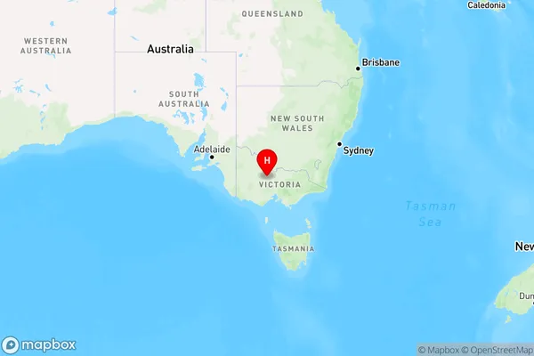
Yarraberb Area, Yarraberb Postcode(3516) & Map in Yarraberb, Bendigo, VIC
Yarraberb Area, Yarraberb Postcode(3516) & Map in Yarraberb, Bendigo, VIC, AU, Postcode: 3516
Yarraberb, Loddon, Loddon - Elmore, Bendigo, Victoria, Australia, 3516
Yarraberb Postcode
Area Name
YarraberbYarraberb Suburb Area Map (Polygon)

Yarraberb Introduction
Yarraberb is a locality in the City of Greater Bendigo, Victoria, Australia. It is located in the north-east of the city, near the junction of the Yarra River and the Bendigo Creek. The area was first settled in the 1850s and was named after the Yarra River. It is a popular residential area with a variety of housing styles, including historic homes and modern apartments. Yarraberb has a number of parks and recreational facilities, including the Yarraberb Park Golf Course and the Yarraberb Reserve. It is also home to a number of businesses and industries, including the Yarraberb Industrial Estate.State Name
City or Big Region
District or Regional Area
Suburb Name
Yarraberb Region Map

Country
Main Region in AU
R3Coordinates
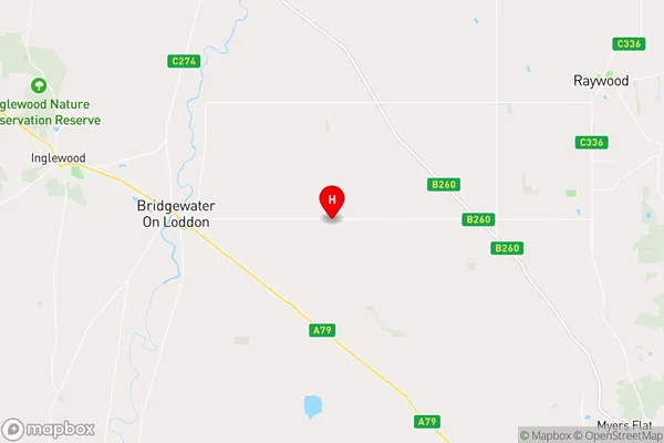
-36.6048366,144.0383058 (latitude/longitude)Yarraberb Area Map (Street)

Longitude
144.041722Latitude
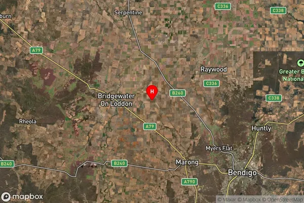
-36.607616Yarraberb Suburb Map (Satellite)

Distances
The distance from Yarraberb, Bendigo, VIC to AU Greater Capital CitiesSA1 Code 2011
20203103303SA1 Code 2016
20203103303SA2 Code
202031033SA3 Code
20203SA4 Code
202RA 2011
2RA 2016
2MMM 2015
5MMM 2019
5Charge Zone
V2LGA Region
LoddonLGA Code
23940Electorate
Mallee