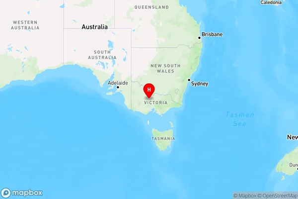
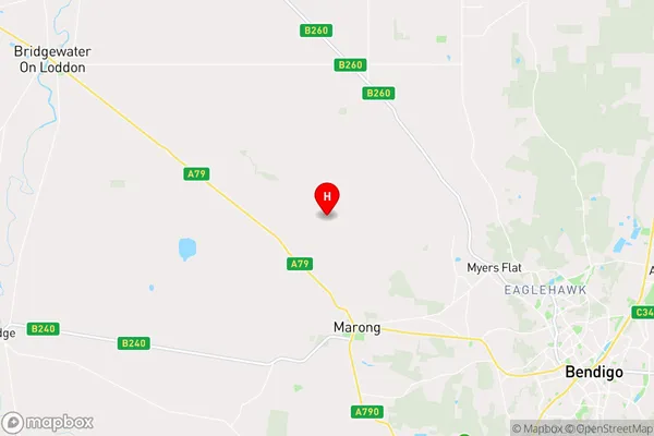
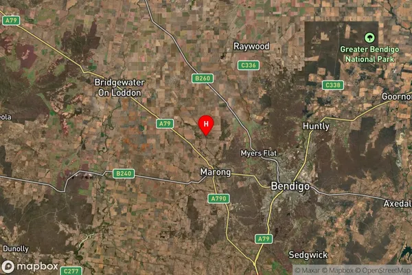
Leichardt Area, Leichardt Postcode(3516) & Map in Leichardt, Bendigo, VIC
Leichardt Area, Leichardt Postcode(3516) & Map in Leichardt, Bendigo, VIC, AU, Postcode: 3516
Leichardt, Bendigo Region - South, Heathcote - Castlemaine - Kyneton, Bendigo, Victoria, Australia, 3516
Leichardt Postcode
Area Name
LeichardtLeichardt Suburb Area Map (Polygon)

Leichardt Introduction
Leichhardt is a suburb of Melbourne, Victoria, Australia. It is located 4 km north-west of Melbourne's Central Business District. Leichhardt was named after the explorer Frederick Leichhardt. The suburb has a rich history and is known for its vibrant arts and culture scene. It is home to many historic buildings, including the Leichhardt Town Hall and the Leichhardt Library. Leichhardt also has a variety of popular restaurants, cafes, and bars.State Name
City or Big Region
District or Regional Area
Suburb Name
Leichardt Region Map

Country
Main Region in AU
R3Coordinates
-36.6812208,144.1144787 (latitude/longitude)Leichardt Area Map (Street)

Longitude
144.041722Latitude
-36.607616Leichardt Suburb Map (Satellite)

Distances
The distance from Leichardt, Bendigo, VIC to AU Greater Capital CitiesSA1 Code 2011
20202102606SA1 Code 2016
20202102606SA2 Code
202021026SA3 Code
20202SA4 Code
202RA 2011
2RA 2016
2MMM 2015
2MMM 2019
2Charge Zone
V2LGA Region
LoddonLGA Code
23940Electorate
Mallee