Cochranes Creek Area, Cochranes Creek Postcode(3475) & Map in Cochranes Creek, Bendigo, VIC
Cochranes Creek Area, Cochranes Creek Postcode(3475) & Map in Cochranes Creek, Bendigo, VIC, AU, Postcode: 3475
Cochranes Creek, Loddon, Loddon - Elmore, Bendigo, Victoria, Australia, 3475
Cochranes Creek Postcode
Area Name
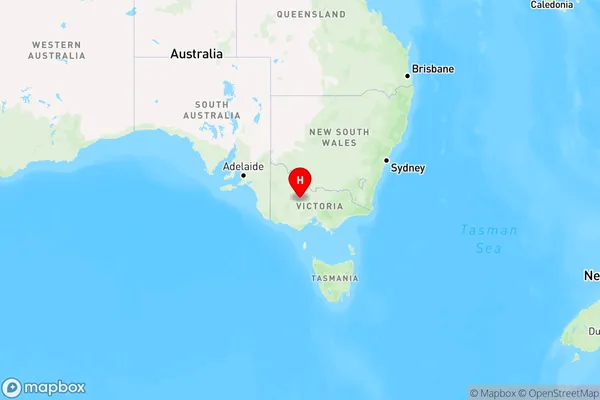
Cochranes CreekCochranes Creek Suburb Area Map (Polygon)

Cochranes Creek Introduction
Cochranes Creek is a small rural town located in the Bendigo region of Victoria, Australia. It is situated on the Cobb Highway, approximately 10 kilometers north-east of Bendigo. The town has a population of around 100 people and is known for its historic stone buildings and beautiful countryside. The creek that flows through the town is a popular spot for fishing and swimming, and the surrounding area is home to a variety of wildlife, including kangaroos and wallabies.State Name
City or Big Region
District or Regional Area
Suburb Name
Cochranes Creek Region Map

Country
Main Region in AU
R3Coordinates
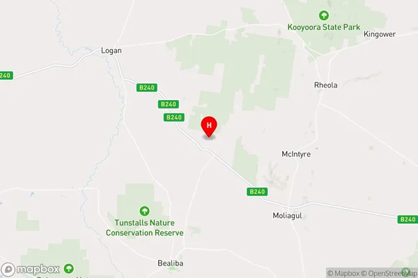
-36.6909213,143.5862259 (latitude/longitude)Cochranes Creek Area Map (Street)

Longitude
143.51213Latitude
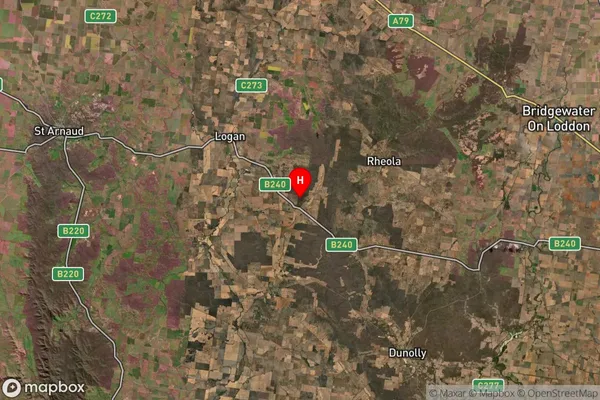
-36.70633Cochranes Creek Suburb Map (Satellite)

Distances
The distance from Cochranes Creek, Bendigo, VIC to AU Greater Capital CitiesSA1 Code 2011
20203103308SA1 Code 2016
20203103308SA2 Code
202031033SA3 Code
20203SA4 Code
202RA 2011
3RA 2016
3MMM 2015
5MMM 2019
5Charge Zone
V2LGA Region
Central GoldfieldsLGA Code
21670Electorate
Mallee